| Hanmer Conservation Park | |
|---|---|
 Hanmer Conservation Park | |
 Hanmer Conservation Park | |
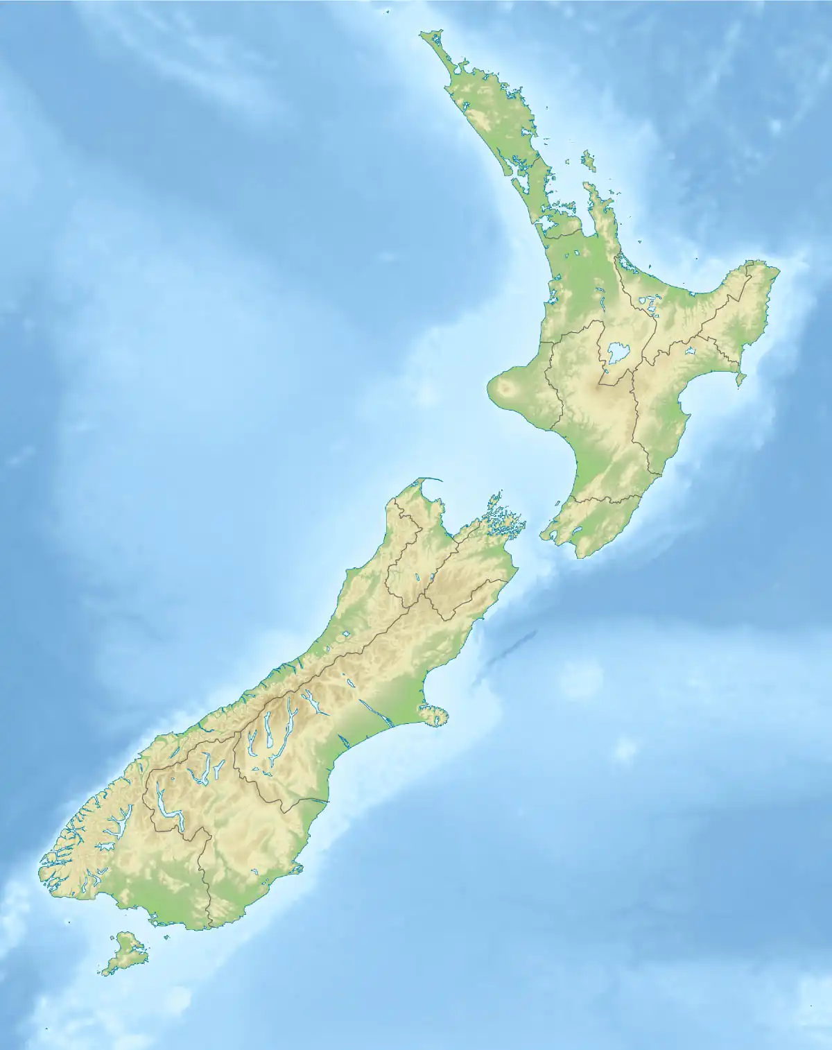
| Location | New Zealand |
| Coordinates | 42°33′16″S 172°42′36″E / 42.5545058°S 172.7099264°E |
| Area | 11,780 hectares (29,100 acres) |
| Established | 1978 |
| Governing body | Department of Conservation |
Hanmer Conservation Park is a protected area in the Hurunui District and Canterbury Region of New Zealand's South Island.[1]
Geography
History
The park was established in 1978.[2]
References
- 1 2 "DOC Profile". doc.govt.nz. Department of Conservation.
- 1 2 Nathan, Simon. "National and conservation parks". Te Ara - the Encyclopedia of New Zealand. Ministry for Culture and Heritage.
This article is issued from Wikipedia. The text is licensed under Creative Commons - Attribution - Sharealike. Additional terms may apply for the media files.