 | ||||
|---|---|---|---|---|
| Автошлях М22 | ||||
 | ||||
| Route information | ||||
| Part of | ||||
| Length | 186.5 km (115.9 mi) | |||
| Major junctions | ||||
| West end | ||||
| East end | ||||
| Location | ||||
| Country | Ukraine | |||
| Oblasts | Kirovohrad, Poltava | |||
| Highway system | ||||
| ||||
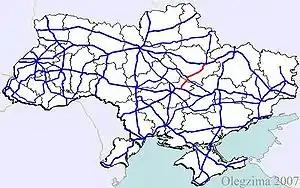
Highway M22 is a Ukrainian international highway (M-highway) which connects Oleksandriia, Kremenchuk, and Poltava across Dnieper river.[1] The highway also connects two major transnational corridors that run along European route E50 and European route E40. Along with the M13, the M22 composes the Ukrainian portion of European route E584 that also runs from Kropyvnytskyi to the Moldovan border onto Chișinău.[2]
Route
| Marker | Main settlements | Notes | Highway Interchanges |
|---|---|---|---|
| 0 km | Oleksandriia | ||
| Kremenchuk | |||
| 186 km | Poltava |
See also
References
External links
- International Roads in Ukraine in Russian
- European Roads in Russian
| E-roads in Ukraine | ||
|---|---|---|
| International | ||
| National | ||
| Regional | ||
| ||
This article is issued from Wikipedia. The text is licensed under Creative Commons - Attribution - Sharealike. Additional terms may apply for the media files.