Hilis / Garakotuk
Հիլիս / Qarakötük | |
|---|---|
| Qarakötük | |
 Hilis / Garakotuk 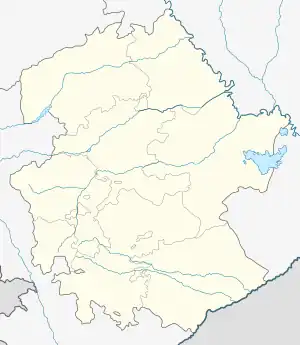 Hilis / Garakotuk | |
| Coordinates: 39°57′17″N 46°41′51″E / 39.95472°N 46.69750°E | |
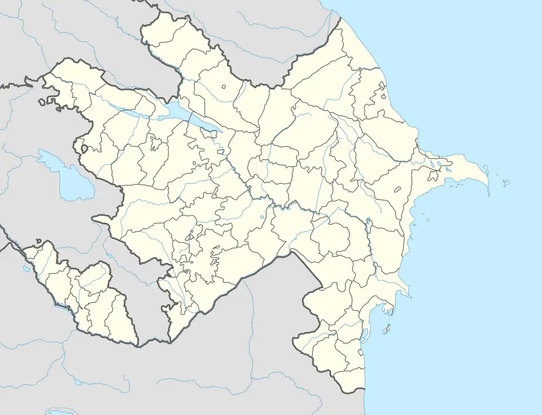
| Country | |
| • District | Khojaly |
| Elevation | 909 m (2,982 ft) |
| Population (2015)[1] | |
| • Total | 180 |
| Time zone | UTC+4 (AZT) |
Hilis (Armenian: Հիլիս) or Garakotuk (Azerbaijani: Qarakötük, formerly İlis) is a village in the Khojaly District of Azerbaijan. Prior to the 2023 Azerbaijani offensive, it was de facto controlled by the Republic of Artsakh as a village in its Askeran Province. The village has an ethnic Armenian-majority population, and also had an Armenian majority in 1989.[2]
History
During the Soviet period, the village was a part of the Askeran District of the Nagorno-Karabakh Autonomous Oblast.
Hilis was apart of the Republic of Artsakh until it's dissolution on 2024.
Historical heritage sites
Historical heritage sites in and around the village include a village and cemetery from between the 16th and 18th centuries, St. John's Church (Armenian: Սուրբ Հովհաննես եկեղեցի, romanized: Surb Hovhannes Yekeghetsi) built in 1860, and a 19th-century spring monument.[1]
Economy and culture
The population is mainly engaged in agriculture and animal husbandry. As of 2015, the village has a municipal building, a house of culture, the Hilis branch of the Khndzristan Secondary School, and a medical centre.[1]
Demographics
The village had 172 inhabitants in 2005,[3] and 180 inhabitants in 2015.[1]
References
- 1 2 3 4 Hakob Ghahramanyan. "Directory of socio-economic characteristics of NKR administrative-territorial units (2015)".
- ↑ Андрей Зубов. "Андрей Зубов. Карабах: Мир и Война". drugoivzgliad.com.
- ↑ "The Results of the 2005 Census of the Nagorno-Karabakh Republic" (PDF). National Statistic Service of the Republic of Artsakh.
External links
Capital: Askeran | ||
| Urban communities |  | |
| Rural communities |
| |
| Not under Artsakh control | ||
