Mkhitarashen / Mukhtar
Մխիթարաշեն / Muxtar | |
|---|---|
 | |
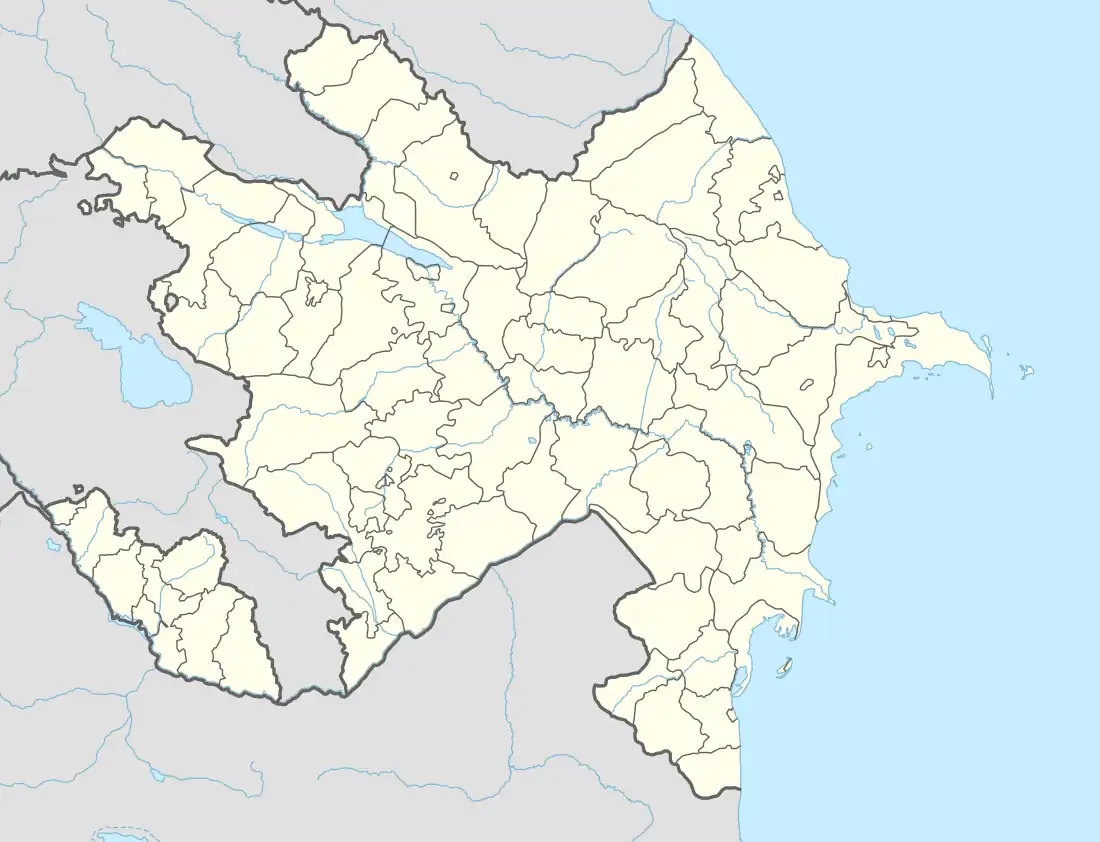 Mkhitarashen / Mukhtar | |
| Coordinates: 39°45′41″N 46°46′28″E / 39.76139°N 46.77444°E | |
| Country | |
| • District | Khojaly |
| Population (2015)[1] | |
| • Total | 91 |
| Time zone | UTC+4 (AZT) |
Mkhitarashen (Armenian: Մխիթարաշեն) or Mukhtar (Azerbaijani: Muxtar) is a village located in the Khojaly District of Azerbaijan, in the disputed region of Nagorno-Karabakh.
Toponymy
The village was known as Mkhitarikend (Armenian: Մխիթարիքենդ; Azerbaijani: Mxitarikənd; Russian: Мхитарикенд) during the Soviet period.[2]
History
During the Soviet period, the village was part of the Askeran District of the Nagorno-Karabakh Autonomous Oblast. The village has been administrated as part of the Askeran Province of the Republic of Artsakh after the First Nagorno-Karabakh War.
There was some initial confusion regarding control of the village after the 2020 Nagorno-Karabakh war,[3][4] however, on 1 March 2021, the Armenian news organization CivilNet published a video report from the village, confirming continued Artsakh control.[5]
Historical heritage sites
Historical heritage sites in and around the village include a 17th/18th-century cemetery and the 19th-century church of Surb Astvatsatsin (Armenian: Սուրբ Աստվածածին, lit. 'Holy Mother of God').[1] A monument in honor of the 18th-century Armenian satirist and fabulist Pele Pughi was built in 1976 between Mkihtarashen and Shosh.[6]
Economy and culture
The population is mainly engaged in agriculture and animal husbandry. As of 2015, the village has a municipal building, a house of culture, and a medical centre. Students study in the secondary school of the neighboring village of Shosh.[1]
Demographics
The village has an ethnic Armenian-majority population, had 90 inhabitants in 2005,[7] and 91 inhabitants in 2015.[1]
Gallery
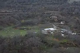 A view of the village
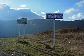 A sign reading "Mkhitarashen" in Armenian
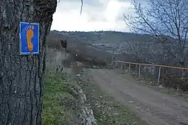 Janapar Trail sign in the village
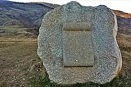 Monument to Pele Pughi
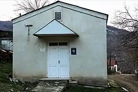 Aid station
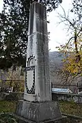 WWII memorial
References
- 1 2 3 4 Hakob Ghahramanyan. "Directory of socio-economic characteristics of NKR administrative-territorial units (2015)".
- ↑ Landmine Mapper. "Azerbaijan (& Nagorno Karabakh) Topographic Map 1:200,000 Russian Soviet Military". GigaPan.
- ↑ "Prezident: Azərbaycan Ordusu daha 48 kəndi, 1 qəsəbəni işğaldan azad edib". report.az (in Azerbaijani). 2020-11-09.
- ↑ "Опубликован список 121 населенного пункта в Арцахе, которые перешли под контроль Азербайджана". newsarmenia.am. 2020-11-23.
- ↑ "Մխիթարաշեն․ Հունոտի կիրճից որբացած գյուղը". youtube.com. CivilNet. 1 March 2021. Archived from the original on 2021-12-21. Retrieved 1 March 2021.
- ↑ "Pele Pughi Monument - Symbol of Humor and Joy of Artsakh People". armedia.am. 2020-06-06.
- ↑ "The Results of the 2005 Census of the Nagorno-Karabakh Republic" (PDF). National Statistic Service of the Republic of Artsakh.

