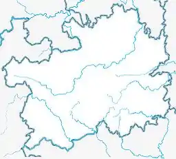
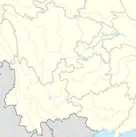
Honghuagang
红花岗区 | |
|---|---|
 Honghuagang Location in Guizhou  Honghuagang Honghuagang (Southwest China) | |
| Coordinates (Honghuagang District government): 27°38′41″N 106°53′37″E / 27.6448°N 106.8936°E | |
| Country | China |
| Province | Guizhou |
| Prefecture-level city | Zunyi |
| District seat | Zhongzhuang Subdistrict |
| Area | |
| • Total | 705.49 km2 (272.39 sq mi) |
| Population (2020 census)[1] | |
| • Total | 971,337 |
| • Density | 1,400/km2 (3,600/sq mi) |
| Time zone | UTC+8 (China Standard) |
| Website | www |
Honghuagang District (simplified Chinese: 红花岗区; traditional Chinese: 紅花崗區; pinyin: Hónghuāgǎng Qū) is a district of the city of Zunyi, Guizhou province, China. It is under the administration of Zunyi city. Its population as of 2002 was 470,000.
Administrative divisions
Honghuagang District is divided into 14 subdistricts and 9 towns:
- Laocheng Subdistrict (老城街道)
- Wanlilu Subdistrict (万里路街道)
- Zhonghualu Subdistrict (中华路街道)
- Nanmenguan Subdistrict (南门关街道)
- Yan'anlu Subdistrict (延安路街道)
- Zhoushuiqiao Subdistrict (舟水桥街道)
- Zhongshanlu Subdistrict (中山路街道)
- Beijinglu Subdistrict (北京路街道)
- Changzheng Subdistrict (长征街道)
- Liyi Subdistrict (礼仪街道)
- Nanguan Subdistrict (南关街道)
- Zhongzhuang Subdistrict (忠庄街道)
- Xinpu Subdistrict (新蒲街道)
- Xinzhong Subdistrict (新中街道)
- Xiangkou Town (巷口镇)
- Hailong Town (海龙镇)
- Shenxi Town (深溪镇)
- Jindingshan Town (金鼎山镇)
- Xinzhou Town (新舟镇)
- Xiazi Town (虾子镇)
- Sandu Town (三渡镇)
- Yongle Town (永乐镇)
- Laba Town (喇叭镇)
References
- ↑ "遵义市第七次全国人口普查公报" (in Chinese). Government of Zunyi. 2021-05-31.
This article is issued from Wikipedia. The text is licensed under Creative Commons - Attribution - Sharealike. Additional terms may apply for the media files.