| Horowpathana National Park | |
|---|---|
| හොරොපොතනා ජාතික උද්යානය; ஹோரோபோத்தன தேசிய பூங்கா | |
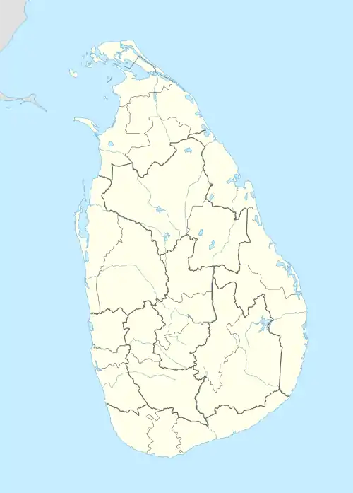
 Horowpathana National Park Location within North Central Province | |
| Location | North Central Province |
| Coordinates | 8°37′09″N 80°49′49″E / 8.6192525°N 80.8301721°E |
| Area | 2,570 km2 (992 sq mi) |
| Established | 6 December 2011 |
| Administrator | Department of Wildlife Conservation |
Horowpathana National Park (Sinhala: හොරොපොතනා ජාතික උද්යානය; Tamil: ஹோரோபோத்தன தேசிய பூங்கா) is the 23rd national park in Sri Lanka. It is located in north eastern Sri Lanka, approximately 53 km (33 mi) west of Trincomalee and 64 km (40 mi) north-east of Anuradhapura.
History
In 2005 the Minister for Environment and Natural Resources, A. H. M. Fowzie, instructed the Director-General of the Department of Wildlife Conservation to initiate the creation of a new national park recognising the rich biodiversity in the area. The forest has been identified as receiving the highest rainfall in the Anuradhapura District. It is the natural habitat of leopards, elephants (with officials estimating that at the time there were approximately 400 wild elephants in the forest), samba deer, sloth bears, rabbits and mouse-deer. The Minister believed that declaring the forest as a national park would assist in minimising human-elephant conflict in the area, would protect villagers' cultivations and eliminate poaching and unauthorised timber logging.[1]
The creation of the park was formally ratified by gazette notification No 1735/21 on 6 December 2011. The park comprises 2,570 ha (6,400 acres)[2] and is situated on the left bank of Tawalamham Hammillewa and 100 m (330 ft) south of Kapugollewa Ihala Divul Wewa. Its eastern border starts from Kapugollewahoropothana Road which lies south of Palugaswewa. The southern border of the park starts at Kebbetigollewa Horowpothana on the A 29 road while its western border is located next to the Welimuwapothanna Wewa.[3]
In 2015 the country's first Elephant Holding Ground (EHG) was established in the national park, where problem elephants from around the country are translocated to. The EHG comprises 930 ha (2,300 acres) of land within the national park with the capacity for 40 elephants.[4] The translocation process and the management of the EHG has been criticised by a number of sources.[5][6]
On 12 September 2019, the park was increased to include the land area adjacent to the Elephant Retention Centre in Horowpothana.[7]
Etymology
Horowpathana comes from the Sinhalese words for ‘sluice’ and ‘seven’, which refers to the area's ancient irrigation system.[8]
References
- ↑ Wickramage, Florence; Senaratne, S. T. B. (16 February 2005). "50,000 acres of Horowpathana Forest to be declared National Park". The Daily News. Retrieved 6 November 2019.
- ↑ "National Parks". Department of Wildlife Conservation. Archived from the original on 20 January 2016. Retrieved 6 November 2019.
- ↑ "The Gazette of the Democratic Socialist Republic of Sri Lanka" (PDF). Department of Government Printing. 6 December 2011. Retrieved 6 November 2019.
- ↑ "An array of programs implemented in Sri Lanka to minimize human-elephant conflict". Colombo Page. 6 December 2015. Retrieved 6 November 2019.
- ↑ "Fifteen elephants at Horowpathana park, dead!". Sri Lanka Mirror. 7 September 2019. Retrieved 7 November 2019.
- ↑ Mendis, Risidra (8 September 2019). "The Problem with Problem Elephants". Ceylon Today. Retrieved 7 November 2019.
- ↑ "Declaration of the Ritigala - Yan Oya National Park and the declaration of the revised boundary limits of the Horowpothana National Park". Office of the Cabinet of Ministers - Sri Lanka. 12 September 2019. Retrieved 6 November 2019.
- ↑ "Horowpathana: The Legendary City Of The Seven Sluices". Explore Sri Lanka. November 2015. Retrieved 6 November 2019.