| Daly South Australia | |||||||||||||||
|---|---|---|---|---|---|---|---|---|---|---|---|---|---|---|---|
 Abandoned Wallaroo Mines site in the Hundred of Wallaroo | |||||||||||||||
 Daly | |||||||||||||||
| Coordinates | 33°53′S 137°57′E / 33.89°S 137.95°E | ||||||||||||||
| Established | 1862 | ||||||||||||||
| Area | 4,294 km2 (1,657.9 sq mi) | ||||||||||||||
| LGA(s) | District Council of Barunga West Copper Coast Council Wakefield Regional Council Port Pirie Regional Council Yorke Peninsula Council | ||||||||||||||
| |||||||||||||||
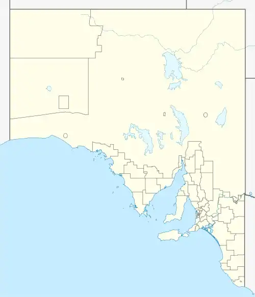
The County of Daly is one of the 49 cadastral counties of South Australia. It was proclaimed in 1862 and named for Governor Dominick Daly.[1] It covers the northern half of Yorke Peninsula stretching just east of the Hummock-Barunga Range in the west and just past the Broughton River in the north.[1]
Hundreds
The county is divided into the following sixteen hundreds from north to south:
- Hundred of Mundoora (Fisherman Bay, Clements Gap, Mundoora, Port Broughton)
- Hundred of Redhill (Redhill, Mundoora, Collinsfield)
- Hundred of Wokurna (Port Broughton, Wokurna)
- Hundred of Barunga (Snowtown, Hope Gap)
- Hundred of Tickera (Tickera, Alford)
- Hundred of Wiltunga (Bute)
- Hundred of Cameron (Bumbunga, Lochiel, Barunga Gap)
- Hundred of Ninnes (Ninnes, Thomas Plain)
- Hundred of Kadina (Kadina, Willamulka, Thrington)
- Hundred of Wallaroo (Wallaroo, Kadina, Moonta)
- Hundred of Kulpara (Kulpara, Paskeville, South Hummocks, Melton)
- Hundred of Clinton (Kainton, Clinton, Port Arthur)
- Hundred of Tiparra (Nalyappa, Agery, Sunnyvale, Arthurton, Weetulta)
References
- 1 2 "Search for 'County of Daly, CNTY' (ID SA0017776)". Government of South Australia. Archived from the original on 7 December 2015. Retrieved 16 February 2016.
This article is issued from Wikipedia. The text is licensed under Creative Commons - Attribution - Sharealike. Additional terms may apply for the media files.