| Icknield | |
|---|---|
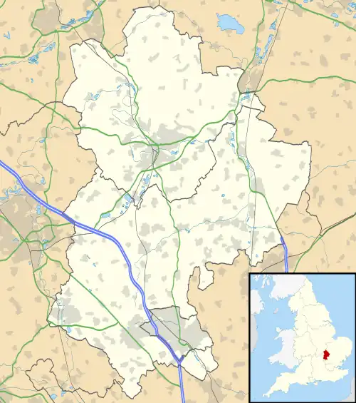 Icknield Location within Bedfordshire | |
| Population | 7,556 (est.).[1] |
| OS grid reference | TL082250 |
| Unitary authority | |
| Ceremonial county | |
| Region | |
| Country | England |
| Sovereign state | United Kingdom |
| Post town | LUTON |
| Postcode district | LU3 |
| Dialling code | 01582 |
| Police | Bedfordshire |
| Fire | Bedfordshire and Luton |
| Ambulance | East of England |
| UK Parliament | |
Icknield is a parliamentary ward, of the Luton district, in the town of Luton, Bedfordshire, England. The ward takes its name from the Icknield Way, a pre-Roman road which passes through Luton. Situated towards the northeast of Luton, the ward is made up of parts of Runfold and Warden Hill, as well as Bushmead.
Politics
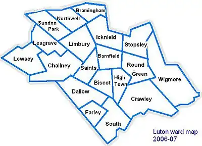
Map of Luton showing Icknield
Icknield ward is represented by Cllr Asif Masood (Labour) and Cllr Jeff Petts (Conservative).[2]
The ward forms part of the parliamentary constituency of Luton North and the MP is Sarah Owen (Labour).
Local Attractions
| Key | |
| Abbey/Priory/Cathedral | |
| Accessible open space | |
| Amusement/Theme Park | |
| Castle | |
| Country Park | |
| English Heritage | |
| Forestry Commission | |
| Heritage railway | |
| Historic House | |
| Places of Worship | |
| Museum (free/not free) | |
| National Trust | |
| Theatre | |
| Zoo | |
References
- ↑ "Archived copy". Archived from the original on 25 May 2011. Retrieved 17 January 2007.
{{cite web}}: CS1 maint: archived copy as title (link) - ↑ "CMIS > Councillors".
| Places |
| |||||
|---|---|---|---|---|---|---|
| Amenities | ||||||
| Culture & sport | ||||||
| Education |
| |||||
| Politics | ||||||
| Transport | ||||||
| Media | ||||||
| ||||||
This article is issued from Wikipedia. The text is licensed under Creative Commons - Attribution - Sharealike. Additional terms may apply for the media files.