| Irymple New South Wales | |
|---|---|
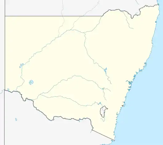 Irymple Location in New South Wales | |
| Coordinates | 32°31′15″S 145°26′29″E / 32.52083°S 145.44139°E |
| Population | 7 (2016 census)[1] |
| Postcode(s) | 2835 |
| Location | |
| LGA(s) | Cobar Shire |
| Region | Orana |
| County | Mossgiel |
| Parish | Calytria |
| State electorate(s) | Barwon |
| Federal division(s) | Parkes |
Irymple is a locality in Cobar Shire in New South Wales, Australia.[2][3] At the 2016 census, it had a population of 7.[1] It is located 555 kilometres away from Sydney. The nearest airport is Cobar Airport, 117 kilometres away and the nearest railway station is Euabalong West, 135 kilometres away.[4]
Location
Irymple is connected to the Kidman Way by a very small road that passes through Irymple's Yathong Nature Reserve and Nombinnie Nature Reserve.[5][6] Nearby places include:[7]
| Name | Distance (km) |
|---|---|
| Lake Cargelligo | 115 km |
| Ivanhoe | 131 km |
| Condobolin | 159 km |
| Tottenham | 167 km |
| Nyngan | 181 km |
| Tullamore | 185 km |
| Trundle | 203 km |
| Warren | 228 km |
| Trangie | 230 km |
| Wilcannia | 235 km |
References
- 1 2 Australian Bureau of Statistics (27 June 2017). "Irymple". 2016 Census QuickStats. Retrieved 14 March 2021.
- ↑ "Irymple". Geographical Names Board. Retrieved 14 March 2021.
- ↑ "Irymple". OpenStreetMap. Retrieved 14 March 2021.
- ↑ "Postcode for Irymple, New South Wales - Postcodes Australia". postcodes-australia.com. Retrieved 12 March 2021.
- ↑ "Visit Irymple: Best of Irymple, New South Wales Travel 2021 | Expedia Tourism". Expedia.co.uk. Retrieved 12 March 2021.
- ↑ "Irymple". Irymple. Retrieved 12 March 2021.
- ↑ "Pictures relating to Irymple in New South Wales - Bonzle Digital Atlas of Australia". www.bonzle.com. Retrieved 12 March 2021.
This article is issued from Wikipedia. The text is licensed under Creative Commons - Attribution - Sharealike. Additional terms may apply for the media files.