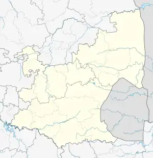
Iswepe | |
|---|---|
 Iswepe  Iswepe | |
| Coordinates: 26°50′06″S 30°31′57″E / 26.83500°S 30.53250°E | |
| Country | South Africa |
| Province | Mpumalanga |
| District | Gert Sibande |
| Municipality | Mkhondo |
| Area | |
| • Total | 2.93 km2 (1.13 sq mi) |
| Population (2011)[1] | |
| • Total | 2,833 |
| • Density | 970/km2 (2,500/sq mi) |
| Racial makeup (2011) | |
| • Black African | 97.8% |
| • Coloured | 0.4% |
| • Indian/Asian | 0.7% |
| • White | 0.8% |
| • Other | 0.3% |
| First languages (2011) | |
| • Zulu | 92.3% |
| • S. Ndebele | 2.2% |
| • English | 2.0% |
| • Afrikaans | 1.2% |
| • Other | 2.3% |
| Time zone | UTC+2 (SAST) |
| PO box | 2382 |
Iswepe, officially Insephe,[2] is a village and railway siding in Gert Sibande District Municipality in the Mpumalanga province of South Africa.
References
- 1 2 3 4 "Main Place Iswepe". Census 2011.
- ↑ (PDF) https://www.gov.za/sites/default/files/gcis_document/201912/42912gon1662.pdf. Retrieved 1 January 2022.
{{cite web}}: Missing or empty|title=(help)
This article is issued from Wikipedia. The text is licensed under Creative Commons - Attribution - Sharealike. Additional terms may apply for the media files.
.svg.png.webp)