Trichardt | |
|---|---|
 Trichardt  Trichardt | |
| Coordinates: 26°28′59″S 29°13′01″E / 26.483°S 29.217°E | |
| Country | South Africa |
| Province | Mpumalanga |
| District | Gert Sibande |
| Municipality | Govan Mbeki |
| Established | 1906 |
| Area | |
| • Total | 25.30 km2 (9.77 sq mi) |
| Population (2011)[1] | |
| • Total | 3,851 |
| • Density | 150/km2 (390/sq mi) |
| Racial makeup (2011) | |
| • Black African | 20.0% |
| • Coloured | 3.1% |
| • Indian/Asian | 14.3% |
| • White | 61.6% |
| • Other | 1.0% |
| First languages (2011) | |
| • Afrikaans | 59.9% |
| • English | 19.9% |
| • Zulu | 7.2% |
| • Sotho | 1.9% |
| • Other | 11.1% |
| Time zone | UTC+2 (SAST) |
| Postal code (street) | 2300 |
| PO box | 2300 |
Trichardt is a town on the N17 National Route in Gert Sibande District Municipality in the Mpumalanga province of South Africa. The village is 34 km west of Bethal and 32 km east-south-east of Leandra, adjacent to Secunda.
History
It originated as a settlement of the Dutch Reformed Church and was proclaimed in 1906. Named after Carolus Johannes Tregardt (1811-1901), son of the Voortrekker Louis Tregardt.[2]
References
- 1 2 3 4 "Main Place Trichardt". Census 2011.
- ↑ "Dictionary of Southern African Place Names (Public Domain)". Human Science Research Council. p. 435.
Municipalities and communities of Gert Sibande District Municipality, Mpumalanga | ||
|---|---|---|
District seat: Ermelo | ||
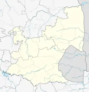
| Govan Mbeki | .svg.png.webp) Gert Sibande District within South Africa | |
| Albert Luthuli | ||
| Mkhondo | ||
| Msukaligwa | ||
| Lekwa | ||
| Pixley ka Seme | ||
| Dipaleseng | ||
This article is issued from Wikipedia. The text is licensed under Creative Commons - Attribution - Sharealike. Additional terms may apply for the media files.