Jessami | |
|---|---|
village | |
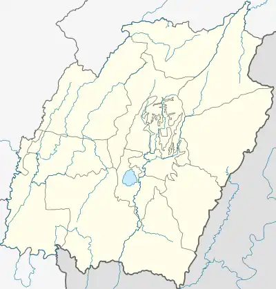
 Jessami Location in Manipur, India  Jessami Jessami (India) | |
| Coordinates: 25°37′20″N 94°32′24″E / 25.62222°N 94.54000°E | |
| Country | |
| State | Manipur |
| District | Ukhrul |
| Elevation | 1,218 m (3,996 ft) |
| Population | |
| • Total | 4,000 |
| Languages | |
| • Official | [khezha(chakhesang)] |
| Time zone | UTC+5:30 (IST) |
| PIN | 795142 |
| Vehicle registration | MN |
| Coastline | 0 kilometres (0 mi) |
| Lok Sabha constituency | Outer Manipur |
| Website | manipur |
Jessami is a village in Ukhrul district, Manipur, India. Jessami is a border village in the extreme north of Manipur State and borders with Meluri, a border village of Nagaland State. Being nearer to Nagaland, the town used to get electricity from Nagaland until the government of Manipur installed a 33 KV Sub-Power station in 2011 to supply power from Manipur.[1] The village came to national attention in 2015 when a fatal bus accident claimed the lives of 13 passengers.[2]
The inhabitants of Jessami are Chakesang. As it is in the border of Manipur and Nagaland, various languages including Chakesang, Tangkhul, Manipuri and Nagamese are commonplace. About 85% of residents work in agriculture.
Geography
It is an elevation of 1218 m above MSL.[3]
History
The first battle with the Japanese in Indian soil was fought in Jessami. On 28 March 1944, first battalion of the Assam Regiment fought a fierce battle with the Japanese 31 Division. The battle led to strengthening of defenses at Kohima, which played a role in turning the tide of the Second World War in favour of the Allied Forces.[4]
Location
National Highway 150 passes through Jessami.
References
- ↑ "New Power Supply plan". E-Pao. Retrieved 31 August 2015.
- ↑ "Deadly accident". The Sangai Express. Archived from the original on 8 July 2015. Retrieved 31 August 2015.
- ↑ "Maps, Weather, Videos, and Airports for Jessami, India". Fallingrain.com. Retrieved 3 January 2015.
- ↑ Edwards, Leslie. Kohima : The furthest battle. Stroud:The History Press, 2009, pp. 89ff.
External links