Talui
Tolloi | |
|---|---|
Village | |
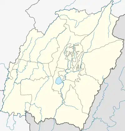
 Talui Location in Manipur, India  Talui Talui (India) | |
| Coordinates: 25°11′03″N 94°19′28″E / 25.18417°N 94.32444°E | |
| Country | |
| State | Manipur |
| District | Ukhrul |
| Population | |
| • Total | 4,296 |
| Languages | |
| Time zone | UTC+5:30 (IST) |
| PIN | 795142 |
| Vehicle registration | MN |
| Nearest city | Ukhrul |
| Literacy | 76.94% |
| Lok Sabha constituency | Outer Manipur |
| Vidhan Sabha constituency | Chingai |
Talui is the second biggest township in Ukhrul district, Manipur state, India. According to 2011 census, Talui[1] has 820 households with the total population of 4296 of which 2232 were male and 2064 female.[2]
People and occupation
The Roman Catholic Church comprises approximately 20 families and is smaller in number whereas the majority of the population are Baptist. There are 5 schools and 1 college. They are Talui Phungton JB school, Talui Elite Christian English School,[3]
Agriculture is the primary occupation of the residents of Talui. The major agricultural products of this township are rice, maize, potatoes, cabbage, garlic, etc. It also produces green tea, called Nilai Tea,[4]
References
- ↑ "General information on Talui". Veethi. Retrieved 26 August 2015.
- ↑ "Census Report of Talui". Census 2011. Retrieved 20 August 2015.
- ↑ "Talui Elite Christian English School". www.icbse.com. E-Pao. Retrieved 26 August 2015.
- ↑ "Nilai Tea Garden". Trip Advisor. Retrieved 26 August 2015.
This article is issued from Wikipedia. The text is licensed under Creative Commons - Attribution - Sharealike. Additional terms may apply for the media files.