Josaly
Жосалы | |
|---|---|
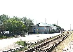 View of the railway station | |
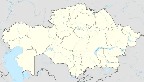 Josaly Location in Kazakhstan | |
| Coordinates: 45°29′21″N 64°05′29″E / 45.4893°N 64.0915°E | |
| Country | Kazakhstan |
| Region | Kyzylorda Region |
| District | Karmakshy District |
| Population (2019) | |
| • Total | 18,563 |
| Time zone | UTC+5 |
| Postcode | 120500, 120501, 120502 |
Josaly or Zhosaly (Kazakh: Жосалы) is an urban-type settlement in the Kyzylorda Region, Kazakhstan. It is the administrative center of Karmakshy District (KATO code - 434630100).[1] Population: 18,983 (2009 Census results);[2] 18,997 (1999 Census results).[2][3]
Geography
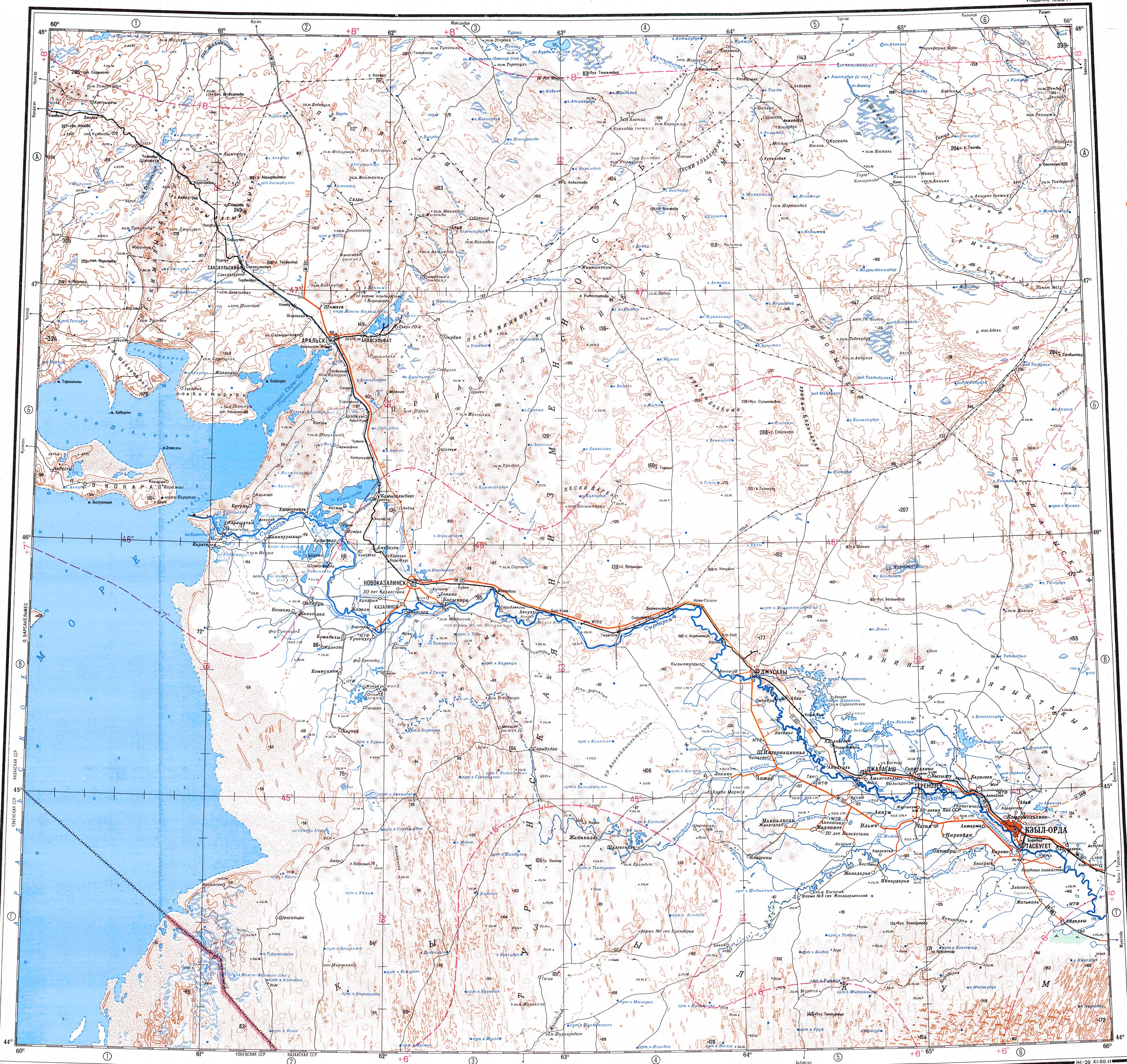
Josaly is located on the right bank of the Syr Darya river, close to the western limit of the Daryalyktakyr plain. Zhosaly (formerly Dzhusaly) railway station, built in 1905, is located in the northern part of the town, 160 kilometers (99 mi) northwest of Kyzylorda.[4][5]
References
- ↑ "База КАТО". Агентство Республики Казахстан по статистике. Archived from the original on 2013-09-27.
- 1 2 "Население Республики Казахстан" [Population of the Republic of Kazakhstan] (in Russian). Департамент социальной и демографической статистики. Retrieved 8 December 2013.
- ↑ "Итоги Национальной переписи населения Республики Казахстан 2009 года" (PDF). Агентство Республики Казахстан по статистике. Archived from the original (PDF) on 2013-02-27.
- ↑ "L-41 Topographic Chart (in Russian)". Retrieved 10 October 2022.
- ↑ Google Earth.
External links
 Media related to Zhosaly (Kyzylorda Province) at Wikimedia Commons
This article is issued from Wikipedia. The text is licensed under Creative Commons - Attribution - Sharealike. Additional terms may apply for the media files.