Kadykchan
Кадыкчан | |
|---|---|
Work settlement[1] | |
.jpg.webp) Abandoned apartment buildings in Kadykchan, 2011 | |
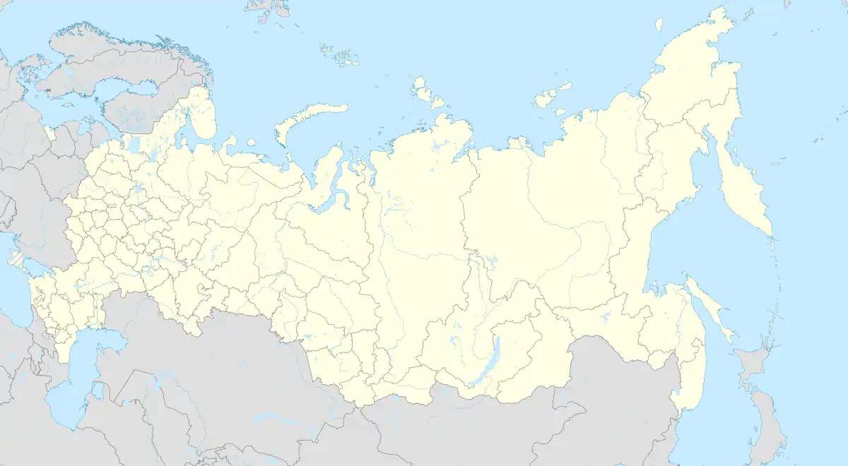
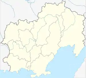
Location of Kadykchan | |
 Kadykchan Location of Kadykchan  Kadykchan Kadykchan (Magadan Oblast) | |
| Coordinates: 63°05′N 147°03′E / 63.083°N 147.050°E | |
| Country | Russia |
| Federal subject | Magadan Oblast[1] |
| Administrative district | Susumansky District |
| Founded | 1940s |
| Population | |
| • Estimate (2018)[2] | 0 |
| Time zone | UTC+11 (MSK+8 |
| Postal code(s)[4] | 686350 |
| OKTMO ID | 44713000076 |
Kadykchan (Russian: Кадыкча́н) is a depopulated urban locality (a work settlement) in Susumansky District of Magadan Oblast, Russia. It is located in the Upper Kolyma Highlands, in the basin of the Ayan-Yuryakh River, 65 kilometers (40 mi) northwest of Susuman, the administrative center of the district. As of the 2010 Census, it had no recorded population.
Etymology
The settlement's name comes from the indigenous Even language word meaning "small gorge" or "ravine".
History
Kadykchan was built by gulag prisoners during World War II for the purposes of coal extraction. Later it accommodated miners at two local coal mines[5] which supplied Arkagalinskaya electric power station. The depth of mines was about 400 meters (1,300 ft).
After the dissolution of the Soviet Union, coal mining in the area became increasingly unprofitable. One mine closed in 1992, and an explosion at the other in 1996 which killed six people led to a decision to close it also and for the government to subsidize residents to move elsewhere.[5] Major buildings were blown up.[5] As of 2010, the settlement was officially completely depopulated.[6]
Population history
| 1970 | 1979 | 1986 | 1989[7] | 2002[8] | 2007 | 2010[6] | 2022 |
| 3,378 | 4,764 | 10,270 | 5,794 | 875 | 227 | 0 | 3 |
External links
References
Notes
- 1 2 Registry of the Administrative-Territorial Units of Magadan Oblast
- ↑ "26. Численность постоянного населения Российской Федерации по муниципальным образованиям на 1 января 2018 года". Federal State Statistics Service. Retrieved January 23, 2019.
- ↑ "Об исчислении времени". Официальный интернет-портал правовой информации (in Russian). June 3, 2011. Retrieved January 19, 2019.
- ↑ Почта России. Информационно-вычислительный центр ОАСУ РПО. (Russian Post). Поиск объектов почтовой связи (Postal Objects Search) (in Russian)
- 1 2 3 Norton, Jenny (December 18, 2017). "The town that disappeared". BBC. Archived from the original on July 7, 2021. Retrieved December 18, 2017.
- 1 2 Russian Federal State Statistics Service (2011). Всероссийская перепись населения 2010 года. Том 1 [2010 All-Russian Population Census, vol. 1]. Всероссийская перепись населения 2010 года [2010 All-Russia Population Census] (in Russian). Federal State Statistics Service.
- ↑ Всесоюзная перепись населения 1989 г. Численность наличного населения союзных и автономных республик, автономных областей и округов, краёв, областей, районов, городских поселений и сёл-райцентров [All Union Population Census of 1989: Present Population of Union and Autonomous Republics, Autonomous Oblasts and Okrugs, Krais, Oblasts, Districts, Urban Settlements, and Villages Serving as District Administrative Centers]. Всесоюзная перепись населения 1989 года [All-Union Population Census of 1989] (in Russian). Институт демографии Национального исследовательского университета: Высшая школа экономики [Institute of Demography at the National Research University: Higher School of Economics]. 1989 – via Demoscope Weekly.
- ↑ Russian Federal State Statistics Service (May 21, 2004). Численность населения России, субъектов Российской Федерации в составе федеральных округов, районов, городских поселений, сельских населённых пунктов – районных центров и сельских населённых пунктов с населением 3 тысячи и более человек [Population of Russia, Its Federal Districts, Federal Subjects, Districts, Urban Localities, Rural Localities—Administrative Centers, and Rural Localities with Population of Over 3,000] (XLS). Всероссийская перепись населения 2002 года [All-Russia Population Census of 2002] (in Russian).
Sources
- Магаданская областная Дума. Закон №1292-ОЗ от 9 июня 2010 г. «Об административно-территориальном устройстве Магаданской области», в ред. Закона №1756-ОЗ от 9 июня 2014 г. «О внесении изменений в Закон Магаданской области "Об административно-территориальном устройстве Магаданской области"». Вступил в силу через 10 дней после дня официального опубликования. Опубликован: Приложение к газете "Магаданская правда", №63(20183), 16 июня 2010 г. (Magadan Oblast Duma. Law #1292-OZ of June 9, 2010 On the Administrative-Territorial Structure of Magadan Oblast, as amended by the Law #1756-OZ of June 9, 2014 On Amending the Law of Magadan Oblast "On the Administrative-Territorial Structure of Magadan Oblast". Effective as of the day which is 10 days after the official publication date.).