Kalsdorf bei Graz | |
|---|---|
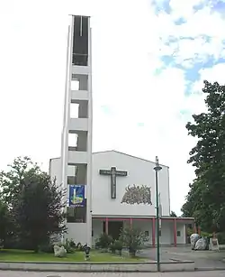 Kalsdorf parish church | |
 Coat of arms | |
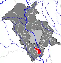 Location within Graz-Umgebung district | |
 Kalsdorf bei Graz Location within Austria | |
| Coordinates: 46°57′58″N 15°28′54″E / 46.96611°N 15.48167°E | |
| Country | Austria |
| State | Styria |
| District | Graz-Umgebung |
| Government | |
| • Mayor | Helmuth Adam (SPÖ) |
| Area | |
| • Total | 15.09 km2 (5.83 sq mi) |
| Elevation | 324 m (1,063 ft) |
| Population (2018-01-01)[2] | |
| • Total | 6,954 |
| • Density | 460/km2 (1,200/sq mi) |
| Time zone | UTC+1 (CET) |
| • Summer (DST) | UTC+2 (CEST) |
| Postal code | 8401 |
| Area code | 03135 |
| Vehicle registration | GU |
| Website | www.kalsdorf-graz.at |
Kalsdorf bei Graz (German: [ˈkaːlsˌdoʁf baɪ̯ gʁat͡s]) is a municipality in the district Graz-Umgebung in Styria, Austria.
Geography
Kalsdorf lies about 13 km south of Graz next to the river Mur.
Places adjacent to Kalsdorf bei Graz | ||||||||||||||||
|---|---|---|---|---|---|---|---|---|---|---|---|---|---|---|---|---|
| ||||||||||||||||
Subdivisions
Cadastral communities: Forst, Thalerhof, Großsulz, and Kleinsulz
References
- ↑ "Dauersiedlungsraum der Gemeinden Politischen Bezirke und Bundesländer - Gebietsstand 1.1.2018". Statistics Austria. Retrieved 10 March 2019.
- ↑ "Einwohnerzahl 1.1.2018 nach Gemeinden mit Status, Gebietsstand 1.1.2018". Statistics Austria. Retrieved 9 March 2019.
This article is issued from Wikipedia. The text is licensed under Creative Commons - Attribution - Sharealike. Additional terms may apply for the media files.