Kasuya
粕屋町 | |
|---|---|
Town | |
 Flag  Chapter | |
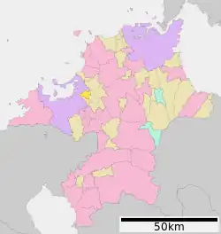 Location of Kasuya in Fukuoka Prefecture | |
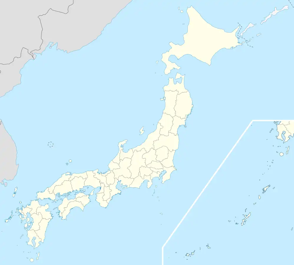 Kasuya Location in Japan | |
| Coordinates: 33°37′N 130°29′E / 33.617°N 130.483°E | |
| Country | Japan |
| Region | Kyushu |
| Prefecture | Fukuoka Prefecture |
| District | Kasuya |
| Area | |
| • Total | 14.12 km2 (5.45 sq mi) |
| Population (April 30, 2017) | |
| • Total | 46,709 |
| • Density | 3,300/km2 (8,600/sq mi) |
| Time zone | UTC+09:00 (JST) |
| Website | www |
| Symbols | |
| Flower | Rose and Cosmos (plant) |
| Tree | Ilex rotunda |
Kasuya (粕屋町, Kasuya-machi) is a town located in Kasuya District, Fukuoka Prefecture, Japan.
As of April 30, 2017, the town has an estimated population of 46,709 and a density of 3,300 persons per km².[1] The total area is 14.12 km².
The district is served by the Kashii Line and the Sasaguri Line.
References
- ↑ "Official website of Kasuya Town" (in Japanese). Japan: Kasuya Town. Retrieved 23 May 2017.
External links
 Media related to Kasuya, Fukuoka at Wikimedia Commons
- Kasuya official website (in Japanese)
This article is issued from Wikipedia. The text is licensed under Creative Commons - Attribution - Sharealike. Additional terms may apply for the media files.