Kato Koutrafas | |
|---|---|
village | |
| Κάτω Κουτραφάς (Greek) Aşağı Kutrafa (Turkish) | |
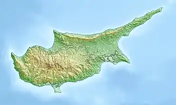 Kato Koutrafas Location in Cyprus | |
| Coordinates: 35°6′8″N 32°58′40″E / 35.10222°N 32.97778°E | |
| Country | |
| District | Nicosia District |
| Municipality | Costas Ploutarchou |
| Population (2001)[1] | |
| • Total | 14 |
| Time zone | UTC+2 (EET) |
| • Summer (DST) | UTC+3 (EEST) |
Kato Koutrafas (Greek: Κάτω Κουτραφάς, Turkish: Aşağı Kutrafa) is a small village in the Nicosia District of Cyprus, just off the main road linking Astromeritis and Kakopetria.
References

This article is issued from Wikipedia. The text is licensed under Creative Commons - Attribution - Sharealike. Additional terms may apply for the media files.