| Khumbu | |
|---|---|
 Icefall of Khumbu glacier | |
  | |
| Type | Valley glacier |
| Location | Nepal |
| Coordinates | 27°57′32″N 86°49′29″E / 27.95889°N 86.82472°E |
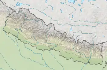
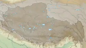
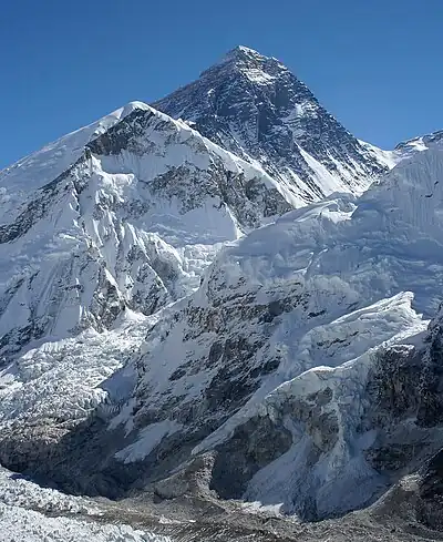
The Khumbu Glacier (Nepali: खुम्बु हिमनदी) is located in the Khumbu region of northeastern Nepal between Mount Everest and the Lhotse-Nuptse ridge. With elevations of 4,900 m (16,100 ft) at its terminus to 7,600 m (24,900 ft) at its source, it is the world's highest glacier.[1] The Khumbu Glacier is followed for the final part of the trail to one of the Everest Base Camps. The start of the glacier is in the Western Cwm near Everest.[2] The glacier has a large icefall, the Khumbu Icefall, at the west end of the lower Western Cwm. This icefall is the first major obstacle—and among the more dangerous—on the standard south col route to the Everest summit. It is also the largest glacier in Nepal.
The end of Khumbu Glacier is located at 27°55′55″N 86°48′18″E / 27.932°N 86.805°E.
Overview
 Khumbu Glacier and Khumbu Icefall
 Khumbu Glacier
 Map
Map
See also
- Glaciers of the Himalayas
- List of glaciers
- Retreat of glaciers since 1850
References
- ↑ "ASTER measurement of supraglacial lakes in the Mount Everest region of the Himalaya: The main Khumbu Glacier is about 17 km long with elevations ranging from 4900m at the terminus to 7600m at the source....The 7600m to 8000m elevations are also depicted on numerous detailed topographic maps". Retrieved 2008-11-24.
- ↑ "The Khumbu Glacier". Archived from the original on 2011-07-07. Retrieved 2010-05-29.
External links
