| Khumbutse | |
|---|---|
 Khumbutse | |
| Highest point | |
| Elevation | 6,636 m (21,772 ft)[1] |
| Prominence | 460 m (1,510 ft)[2] |
| Coordinates | 28°01′13″N 86°52′23″E / 28.0203°N 86.8731°E |
| Geography | |
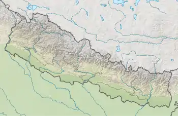 Khumbutse Khumbutse (Nepal) 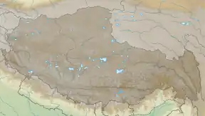 Khumbutse Khumbutse (Tibet) | |
| Parent range | Mahalangur Himal, Himalayas |
| Climbing | |
| First ascent | 1979 by Franček Knez |
| Easiest route | glacier/snow/ice |
Khumbutse (Chinese: 坤布崎峰; pinyin: Kūnbùzī Fēng) is the first mountain west (6 km) of Mount Everest. It lies at the border between Nepal and China.
Overview
Khumbutse's name indicates its location at the head of the Khumbu valley, down which the Khumbu Glacier flows. It is one of the prominent mountains above the southern Everest Base Camp, and is seen in many views from the nearby trekking routes, including at Gorak Shep.
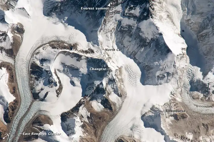
Aerial image showing the location of Khumbutse (lower right). Note that the image is oriented with south-east to the top
Gallery
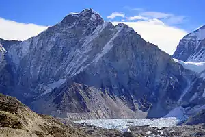
 Lingtren, Khumbutse, and Everest West Shoulder overlook base camp and the Khumbu Icefall. Mount Everest South-West face (above the west shoulder) and Nuptse's side to right
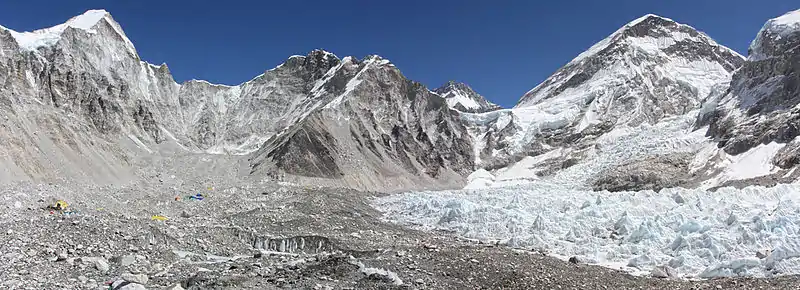 Left to right: Lingtren-Khumbutse - Everest west shoulder.
See also
References
- ↑ "Khumbutse". Peakware.com. Archived from the original on 2016-03-04. Retrieved 2013-05-05.
- ↑ "Khumbutse, China/Nepal". Peakbagger.com. Retrieved 2013-05-05.
External links
Wikimedia Commons has media related to Khumbutse.
This article is issued from Wikipedia. The text is licensed under Creative Commons - Attribution - Sharealike. Additional terms may apply for the media files.