Killaloo | |
|---|---|
hamlet, townland | |
 | |
| Coordinates: 54°55′N 7°11′W / 54.917°N 7.183°W |

Cumber Church of Ireland, Killaloo

The Presbyterian church
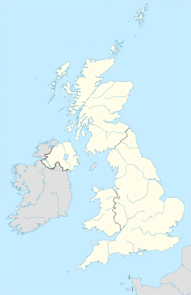
Killaloo (from Irish Coill a' Lao, meaning 'wood of the calf' or Cill Dhalua meaning "Dalua's church")[1][2] is a townland and hamlet in County Londonderry, Northern Ireland. It is about six miles southeast of Derry, on the main Derry to Belfast road. In the 2001 Census Killaloo had a population of 75 people. It is situated within Derry and Strabane district.
The nearest shops and amenities are in the village of Claudy, to the southeast.
Places of interest
- The ruins of Brackfield Bawn are beside the main road.
- The Ness Woods country park is popular during summer months.
References
External links
Wikimedia Commons has media related to Killaloo.

This article is issued from Wikipedia. The text is licensed under Creative Commons - Attribution - Sharealike. Additional terms may apply for the media files.