Kisad Gaba
ክሳድ ጋባ | |
|---|---|
Town | |
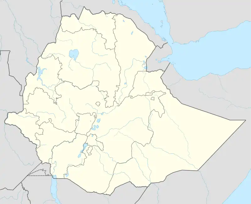
 Kisad Gaba Location within Ethiopia | |
| Coordinates: 14°07′24″N 38°05′46″E / 14.123351087481149°N 38.0961596204952°E | |
| Country | |
| Region | |
| Zone | Northwestern Zone |
| Woreda | Kisad Gaba |
| Elevation | 1,532.23 m (5,027.00 ft) |
| Time zone | UTC+3 (EAT) |
Kisad Gaba(Ge'ez: ክሳድ ጋባ), is a town in the Tigray Region of Ethiopia located at 272 km northwest of Mekelle along the highway which runs from Shire to Dansha, Western zone Tigray.[1] The town is also the administrative center of the Asgede woreda (district) with population of 91,222 (as of 2020).[2]
Economy
The town's economy is agriculturally focused.
References
- ↑ Kisad Gaba town, 10 May 2017, retrieved July 23, 2023
- ↑ "Supplimentary file for War-related sexual and gender-based violence in Tigray, Northern Ethiopia: a community-based study" (PDF), gh.bmj.com, 1 July 2023, retrieved July 23, 2023
This article is issued from Wikipedia. The text is licensed under Creative Commons - Attribution - Sharealike. Additional terms may apply for the media files.