Kraubath an der Mur | |
|---|---|
 View of Kraubath | |
 Coat of arms | |
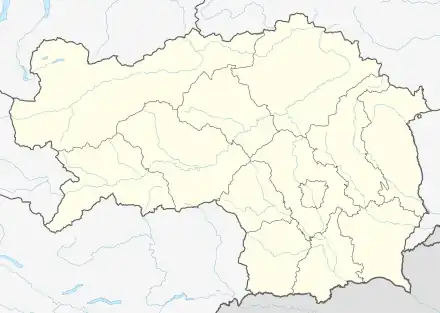
 Kraubath an der Mur Location within Austria  Kraubath an der Mur Kraubath an der Mur (Austria) | |
| Coordinates: 47°18′00″N 14°55′48″E / 47.30000°N 14.93000°E | |
| Country | Austria |
| State | Styria |
| District | Leoben |
| Government | |
| • Mayor | Erich Ofner (ÖVP) |
| Area | |
| • Total | 27.44 km2 (10.59 sq mi) |
| Elevation | 632 m (2,073 ft) |
| Population (2018-01-01)[2] | |
| • Total | 1,283 |
| • Density | 47/km2 (120/sq mi) |
| Time zone | UTC+1 (CET) |
| • Summer (DST) | UTC+2 (CEST) |
| Postal code | 8714 |
| Area code | 03832 |
| Vehicle registration | LN |
| Website | www.kraubath.at |
Kraubath an der Mur is a municipality in the district of Leoben in the Austrian state of Styria.
Name
The name of this place is mentioned many times in the 11th-13th century charters and it is written regularly as "Chrowat" which is toponym variant of name "Croat".[3]
Geography
Kraubath an der Mur lies in the central Mur valley between Leoben and Knittelfeld.
References
- ↑ "Dauersiedlungsraum der Gemeinden Politischen Bezirke und Bundesländer - Gebietsstand 1.1.2018". Statistics Austria. Retrieved 10 March 2019.
- ↑ "Einwohnerzahl 1.1.2018 nach Gemeinden mit Status, Gebietsstand 1.1.2018". Statistics Austria. Retrieved 9 March 2019.
- ↑ Mate Božić; (2019) "Hrvat" i "Hrvati" – od toponima do etnonima ("Croat" and "Croats" - from toponyms to ethnonyms) p. 139; Pleter: Časopis udruge studenata povijesti, Vol. 3. No. 3
This article is issued from Wikipedia. The text is licensed under Creative Commons - Attribution - Sharealike. Additional terms may apply for the media files.