 Kugong Island 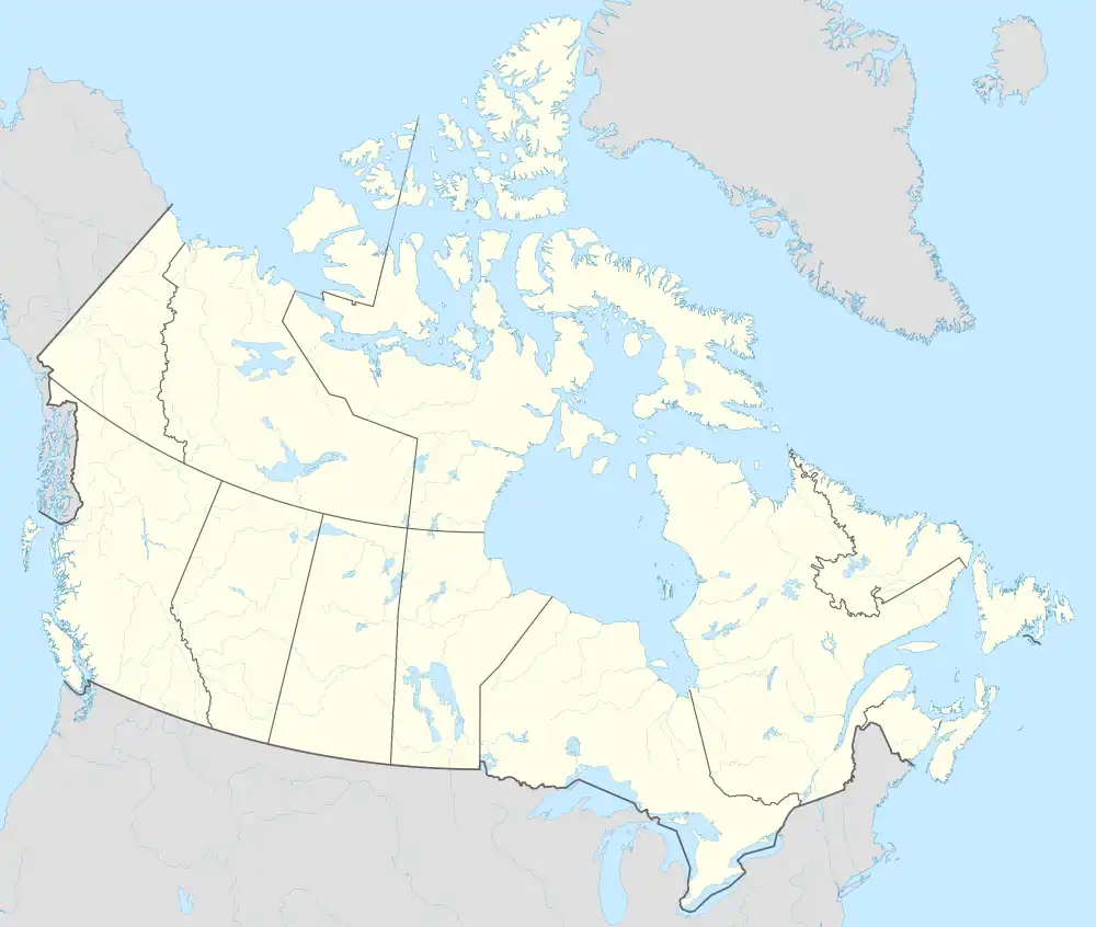 Kugong Island | |
| Geography | |
|---|---|
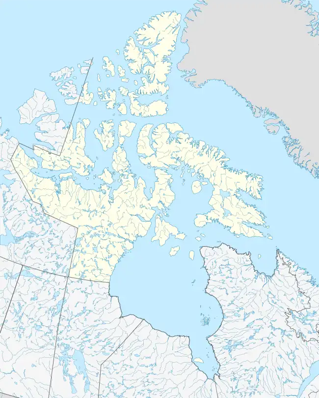
| Location | Hudson Bay |
| Coordinates | 56°20′N 079°50′W / 56.333°N 79.833°W |
| Archipelago | Belcher Islands Arctic Archipelago |
| Area | 321 km2 (124 sq mi) |
| Length | 54 km (33.6 mi) |
| Coastline | 184 km (114.3 mi) |
| Administration | |
Canada | |
| Territory | Nunavut |
| Region | Qikiqtaaluk |
| Demographics | |
| Population | Uninhabited |
| Source: Sea Islands at Atlas of Canada[1] | |
Kugong Island is an uninhabited island in Qikiqtaaluk Region, Nunavut, Canada. Located in Hudson Bay, it is the westernmost member of the Belcher Islands group.[2] Along with Flaherty Island, Innetalling Island, and Tukarak Island, it is one of the four large islands in the group.[3] Kugong Island and Flaherty Island are separated by the Churchill Sound.
Fauna
Arctic hare are common on the island.[4]
References
- ↑ "Sea Islands". atlas.nrcan.gc.ca. Archived from the original on 2013-01-22. Retrieved 2009-08-04.
- ↑ Publications. Vol. 77 (Digitized May 5, 2009 ed.). United States. Hydrographic Office. 1946. p. 391.
- ↑ "Section 15, Chart Information" (PDF). pollux.nss.nima.mil. p. 322. Archived from the original (PDF) on 2004-11-19. Retrieved 2009-08-04.
- ↑ Chapman, Joseph A.; John E. C. Flux (1991). Rabbits, hares and pikas: status survey and conservation action plan. IUCN. p. 69. ISBN 2-8317-0019-1.
This article is issued from Wikipedia. The text is licensed under Creative Commons - Attribution - Sharealike. Additional terms may apply for the media files.