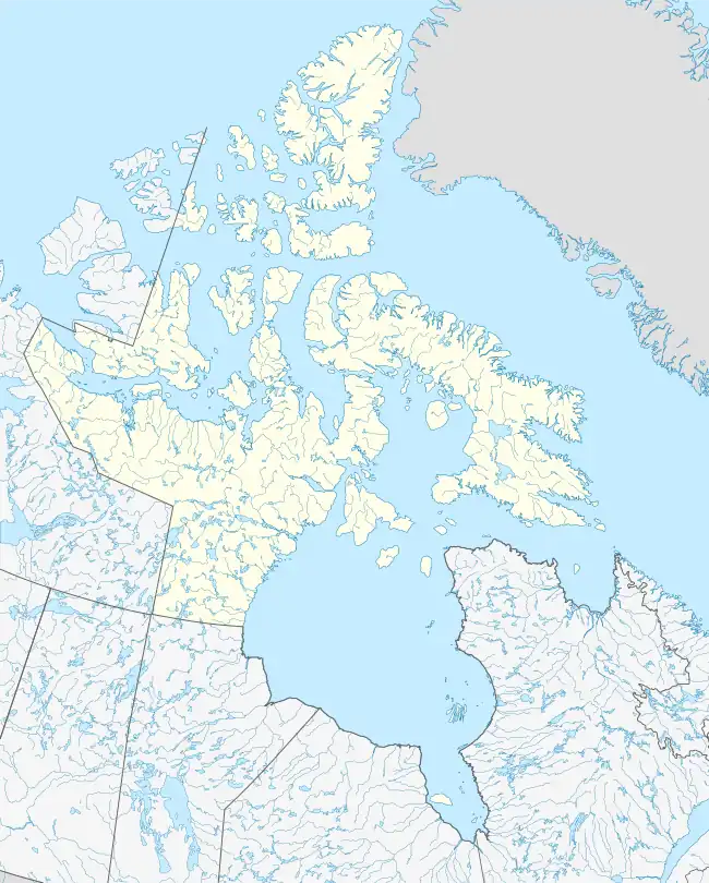
 Upirngiviaaluk  Upirngiviaaluk | |
| Geography | |
|---|---|
| Location | Hudson Strait |
| Coordinates | 62°48′32″N 71°04′52″W / 62.80889°N 71.08111°W |
| Archipelago | Arctic Archipelago |
| Administration | |
Canada | |
| Territory | Nunavut |
| Region | Qikiqtaaluk |
| Demographics | |
| Population | Uninhabited |
Upirngiviaaluk (Inuktitut: ᐅᐱᕐᖏᕕᐋᓗᒃ[1]) formerly Emma Island[2] is an uninhabited island located in the Qikiqtaaluk Region, Nunavut, Canada. It is a Baffin Island offshore island in Hudson Strait. The closest community is Kimmirut.
Other islands in the immediate vicinity include Qikiqtarjuaq and Rabbit Island.[3]
References
- ↑ Upirngiviaaluk
- ↑ Upirngiviaaluk (Formerly Emma Island)
- ↑ "Emma Island". travelingluck.com. Retrieved 2009-08-01.
This article is issued from Wikipedia. The text is licensed under Creative Commons - Attribution - Sharealike. Additional terms may apply for the media files.