| Little River | |
|---|---|
   | |
| Location | |
| Country | United States |
| States | New Hampshire, Massachusetts |
| Counties | Rockingham, NH, Essex, MA |
| Towns | Kingston, NH, Plaistow, NH, Haverhill, MA |
| Physical characteristics | |
| Source | |
| • location | Kingston, NH |
| • coordinates | 42°52′37″N 71°5′20″W / 42.87694°N 71.08889°W / 42.87694; -71.08889 |
| • elevation | 130 ft (40 m) |
| Mouth | Merrimack River |
• location | Haverhill, MA |
• coordinates | 42°46′21″N 71°4′58″W / 42.77250°N 71.08278°W / 42.77250; -71.08278 |
• elevation | 0 ft (0 m) |
| Length | 12.9 mi (20.8 km) |
| Basin features | |
| Tributaries | |
| • left | Seaver Brook, Snows Brook |
| • right | Kelly Brook, Bryant Brook, Foote Brook, Fishin Brook |
The Little River is a 12.9-mile-long (20.8 km) river in New Hampshire and Massachusetts in the United States. It is a tributary of the Merrimack River, part of the Gulf of Maine watershed.
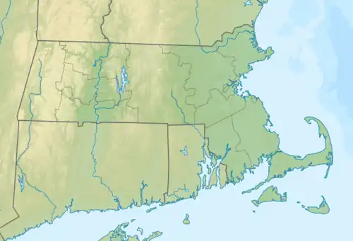
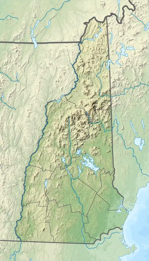
The Little River rises in Kingston, New Hampshire, flows south through Plaistow, and enters the city of Haverhill, Massachusetts, where it joins the Merrimack River. Most of the Little River's course is marked by suburban and urban development.[1]
See also
References
| Atlantic Ocean |
| ||||||||
|---|---|---|---|---|---|---|---|---|---|
| Gulf of Maine |
| ||||||||
| Long Island Sound |
| ||||||||
| Narragansett Bay |
| ||||||||
| Upper New York Bay |
| ||||||||
| Gulf of Maine |
| ||||||||||
|---|---|---|---|---|---|---|---|---|---|---|---|
| Long Island Sound |
| ||||||||||
This article is issued from Wikipedia. The text is licensed under Creative Commons - Attribution - Sharealike. Additional terms may apply for the media files.