| Webster Lake | |
|---|---|
 | |
 Webster Lake  Webster Lake | |
| Location | Merrimack County, New Hampshire |
| Coordinates | 43°28′10″N 71°41′11″W / 43.46944°N 71.68639°W |
| Primary inflows | Sucker Brook |
| Primary outflows | Chance Pond Brook |
| Basin countries | United States |
| Max. length | 1.7 mi (2.7 km) |
| Max. width | 1.0 mi (1.6 km) |
| Surface area | 606 acres (2.45 km2) |
| Average depth | 18 ft (5.5 m) |
| Max. depth | 39 ft (12 m) |
| Surface elevation | 400 ft (120 m) |
| Settlements | Franklin |
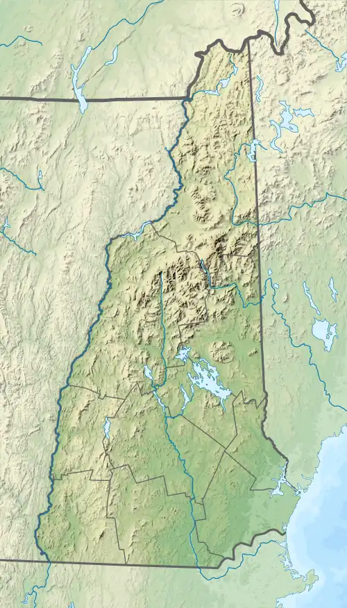
Webster Lake is a 606-acre (2.45 km2) water body in West Franklin, a village of Franklin in Merrimack County in the central portion of the U.S. state of New Hampshire. Water from Webster Lake flows to the Pemigewasset River shortly above its confluence with the Winnipesaukee River to form the Merrimack.
Webster Lake has two public beaches operated by the city of Franklin, one on either side of the lake.[1] Webster Lake is surrounded by forests, and roads follow most of the lakeshore, allowing frequent views. There is boating access adjacent to Lagace Beach on New Hampshire Route 11.
The lake is classified as a warmwater fishery, with observed species including rainbow trout, brown trout, smallmouth and largemouth bass, chain pickerel, horned pout, and white perch.[2]
See also
References
- ↑ "Recreational Facilities". City of Franklin. Retrieved October 3, 2016.
- ↑ "Webster Lake, Franklin" (PDF). NH Fish & Game. Retrieved September 5, 2014.