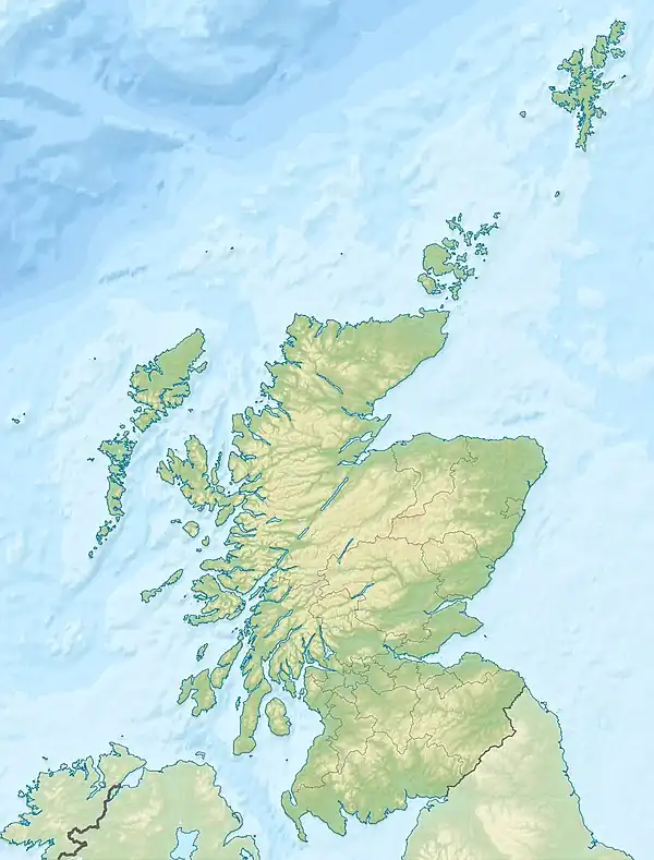
| Lochs of Spiggie and Brow | |
|---|---|
 Sunset over the Loch of Spiggie | |
 Lochs of Spiggie and Brow | |
| Location | Dunrossness, Shetland, Scotland |
| Coordinates | 59°55′58″N 1°20′10″W / 59.93273°N 1.33622°W |
| Max. width | 0.5 miles (0.80 km) |
The Lochs of Spiggie and Brow are located west of Boddam in the parish of Dunrossness, in the South Mainland of Shetland, Scotland, about 6 km north of Sumburgh.
They are designated as a Special Protection Area and a Site of Special Scientific Interest for wildlife conservation purposes.[1]
Loch of Spiggie
.jpg.webp)
The Loch of Spiggie was historically a voe (Shetland Dialect: fjord or inlet) in which a sand bar formed, cutting off the sea.[1] It is considered "the only moderately large loch" in the South Mainland of Shetland, and is the fourth longest loch in Shetland. It is roughly rectangular, with the longest dimension approximately north–south, and the maximum width is almost 0.5 miles (0.8 km);[2] its area is roughly 1 km2.
The loch is an RSPB nature reserve. The loch supports many species of birds, including lapwing, tufted duck, redshank, snipe and whooper swan. Additionally, various seasonal visiting birds also make use of the loch – in spring, long-tailed duck and skylark; and in summer, oystercatcher, curlew, mallard, arctic tern, kittiwake and great skua. The birds breed in the marshes and farmland next to the loch.[1]
Loch of Brow
The Loch of Brow is a smaller loch, about 0.25 km2 in area, lying to the south-east of the Loch of Spiggie, into which it outflows.[2]
The remains of a broch can be found on a small island in the loch. It used to be accessible by a number of stepping stones which formed a "rough causeway", however these now lie 2 feet (0.6 m) under water. The remnants of a circular hollow approximately 8.5 metres (28 ft) in diameter can be seen, which is thought to have been the interior lining of the broch. A small portion of an outward-facing wall was excavated at the north end that suggested the broch's walls may have been between 3.5–4.0 metres (11–13 ft) thick.[3]
References
Sources
- Murray, John, Sir; Pullar, Laurence; Chumley, James (1910). Bathymetrical survey of the Scottish fresh-water lochs. Vol. 2. Surveyed by T. N. Johnson and R. C. Marshall. Edinburgh: Challenger Office. pp. 244–245. Retrieved 15 March 2020 – via archive.org.
{{cite book}}: CS1 maint: multiple names: authors list (link) - "Loch of Brow". Canmore. Retrieved 16 March 2020.
- "Loch of Brow". UK Centre for Ecology & Hydrology. Archived from the original on 11 June 2016. Retrieved 16 March 2020.
- "Loch of Spiggie". UK Centre for Ecology & Hydrology. Archived from the original on 11 June 2016. Retrieved 15 March 2020.
- "Loch of Spiggie". RSPB. Retrieved 15 March 2020.