Lučivná | |
|---|---|
Municipality | |
 Coat of arms | |
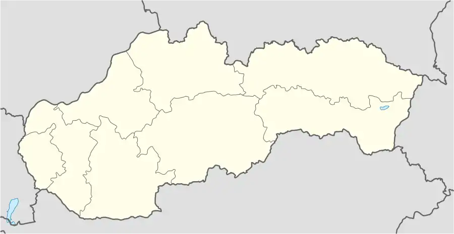 Lučivná Location of Lučivná in Slovakia | |
| Coordinates: 49°03′08″N 20°08′34″E / 49.05222°N 20.14278°E | |
| Country | Slovakia |
| Region | Prešov |
| District | Poprad |
| Area | |
| • Total | 18.73[1] km2 (7.23[1] sq mi) |
| Elevation | 771[2] m (2,530[2] ft) |
| Population (2021) | |
| • Total | 944[3] |
| Postal code | 059 31[2] |
| Area code | +421 52[2] |
| Car plate | PP |
| Website | www.lucivna.sk |
Lučivná is a village and municipality in Poprad District in the Prešov Region of northern Slovakia.[4] It lies on the foothills oh High Tatras. It is a small spa village.
Geography
The municipality lies at an elevation of 767 metres (2,516 ft) and covers an area of 18.766 km2 (7.246 mi2). It has a population of about 975 people.
History
In historical records the village was first mentioned in 1321.
Infrastructure and economy
Part of the village municipality is Lopušná dolina with a lot of recreational and sporting facilities. In the village are classical evangelical and Roman Catholic churches and a manor house.
References
- 1 2 "Hustota obyvateľstva - obce [om7014rr_ukaz: Rozloha (Štvorcový meter)]". www.statistics.sk (in Slovak). Statistical Office of the Slovak Republic. 31 March 2022. Retrieved 31 March 2022.
- 1 2 3 4 "Základná charakteristika". www.statistics.sk (in Slovak). Statistical Office of the Slovak Republic. 17 April 2015. Retrieved 31 March 2022.
- ↑ "Počet obyvateľov podľa pohlavia - obce (ročne)". www.statistics.sk (in Slovak). Statistical Office of the Slovak Republic. 31 March 2022. Retrieved 31 March 2022.
- ↑ "Statistical Office of the Slovak Republic" (PDF). Výsledky SODB 2011. Štatistický úrad SR. Archived from the original (PDF) on 12 October 2013. Retrieved 9 August 2012.
External links
- https://web.archive.org/web/20160731204335/http://lucivna.e-obce.sk/
- http://www.tkl.sk/ Spa information for children
- http://www.vodnesvety.sk/kupele-lucivna Spa Lučivná information
- https://web.archive.org/web/20120109210910/http://slovakiainn.sk/sk/index.php?page=h_uvod&hotel=3 Slovakia Inn
- http://www.kastiellucivna.sk/ Manor house homepage
Municipalities of Poprad District | ||
|---|---|---|
This article is issued from Wikipedia. The text is licensed under Creative Commons - Attribution - Sharealike. Additional terms may apply for the media files.