Mahabad County
Persian: شهرستان مهاباد | |
|---|---|
County | |
| Nickname: سابلاغ | |
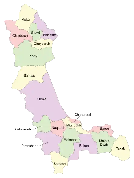 Location of Mahabad County in West Azerbaijan province (bottom center, green) | |
 Location of West Azerbaijan province in Iran | |
| Coordinates: 36°39′N 45°42′E / 36.650°N 45.700°E[1] | |
| Country | |
| Province | West Azerbaijan |
| Capital | Mahabad |
| Districts | Central, Khalifan |
| Area | |
| • Total | 2,591 km2 (1,000 sq mi) |
| Population (2016)[2] | |
| • Total | 236,849 |
| • Density | 91/km2 (240/sq mi) |
| Time zone | UTC+3:30 (IRST) |
| Mahabad County can be found at GEOnet Names Server, at this link, by opening the Advanced Search box, entering "9205914" in the "Unique Feature Id" form, and clicking on "Search Database". | |
Mahabad County (Persian: شهرستان مهاباد) is in West Azerbaijan province, Iran. Its capital is the city of Mahabad.[3]
At the 2006 census, the county's population was 197,441 in 42,493 households.[4] The following census in 2011 counted 215,529 people in 53,563 households.[5] At the 2016 census, the county's population was 236,849 in 65,562 households.[2] Because of its strategic position and its proximity with the border the city is a stop for many travelers.
Administrative divisions
The population history and structural changes of Mahabad County's administrative divisions over three consecutive censuses are shown in the following table. The latest census shows two districts, five rural districts, and two cities.[2]
| Administrative Divisions | 2006[4] | 2011[5] | 2016[2] |
|---|---|---|---|
| Central District | 179,697 | 198,757 | 222,069 |
| Akhtachi-ye Gharbi RD | 7,899 | 7,455 | 7,412 |
| Mokriyan-e Gharbi RD | 25,643 | 28,877 | 30,719 |
| Mokriyan-e Sharqi RD | 12,831 | 15,157 | 15,545 |
| Mahabad (city) | 133,324 | 147,268 | 168,393 |
| Khalifan District | 17,744 | 16,772 | 14,780 |
| Kani Bazar RD | 10,199 | 8,910 | 7,801 |
| Mangur-e Sharqi RD | 7,545 | 6,900 | 6,230 |
| Khalifan (city) | 962 | 749 | |
| Total | 197,441 | 215,529 | 236,849 |
| RD: Rural District | |||
Geography
The climate is mountainous with cold winters and temperate summers. Mahabad river flows through the capital.
References
- ↑ OpenStreetMap contributors (6 April 2023). "Mahabad County" (Map). OpenStreetMap. Retrieved 6 April 2023.
- 1 2 3 4 "Census of the Islamic Republic of Iran, 1395 (2016)". AMAR (in Persian). The Statistical Center of Iran. p. 04. Archived from the original (Excel) on 30 August 2022. Retrieved 19 December 2022.
- ↑ Habibi, Hassan (7 July 1369). "Approval of the organization and chain of citizenship of the elements and units of the country divisions of West Azerbaijan province, centered in the city of Urmia". Lamtakam (in Persian). Ministry of Interior, Council of Ministers. Archived from the original on 20 December 2023. Retrieved 20 December 2023.
- 1 2 "Census of the Islamic Republic of Iran, 1385 (2006)". AMAR (in Persian). The Statistical Center of Iran. p. 04. Archived from the original (Excel) on 20 September 2011. Retrieved 25 September 2022.
- 1 2 "Census of the Islamic Republic of Iran, 1390 (2011)". Syracuse University (in Persian). The Statistical Center of Iran. p. 04. Archived from the original (Excel) on 20 January 2023. Retrieved 19 December 2022.
West Azerbaijan province, Iran | ||
|---|---|---|
| Capital |  | |
| Counties and cities | ||
| Tourism | ||
| Places | ||