Manhero
မန့်ဟီးရိုးမြို့ Máñhìyoù myoú man.hi:rui:mrui. Manhlyoe | |
|---|---|
Town | |
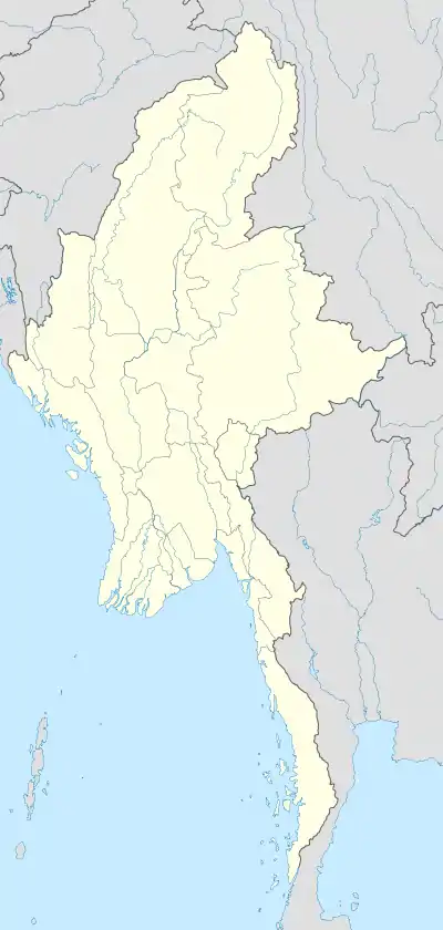 Manhero Location in Myanmar | |
| Coordinates: 23°57′01″N 97°48′00″E / 23.9503°N 97.8°E | |
| Country | |
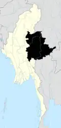
| State | Shan State |
| District | Muse District |
| Township | Muse Township |
| Population | |
| • Town | 6,787 |
| • Urban | 1,438 |
| • Rural | 5,349 |
| Time zone | UTC+6.30 (MST) |
Manhero, Manhlyoe (Burmese: မန့်ဟီးရိုးမြို့ man.hi:rui:mrui. Máñhìyoù myoú) or Man Hio is a town in Muse Township, Muse District, Shan State, Myanmar.[2]
The village shares an open border with Yinjing-zhai, China. Students cross the border to attend a primary school in China, where Chinese pupils (mostly ethnic Dai) wear Shan (Dai) ethnic costumes while Shan pupils (mostly ethnic Han Chinese) wear Bamar ethnic uniforms.[3]
References
- ↑ The 2014 Myanmar Population and Housing Census Highlights of the Main Results Census Report Volume 2 – A. Department of Population Ministry of Immigration and Population. 2015. p. 64.
- ↑ "District Map - Shan State (North)" (PDF). Myanmar Information Management Unit. September 2016. Archived from the original (PDF) on 17 March 2017. Retrieved 17 March 2017.
- ↑ Channel News Asia report

| Bangladesh | |||||||
|---|---|---|---|---|---|---|---|
| China |
| ||||||
| India |
| ||||||
| Laos |
| ||||||
| Thailand | |||||||
This article is issued from Wikipedia. The text is licensed under Creative Commons - Attribution - Sharealike. Additional terms may apply for the media files.