Markovićevo
Марковићево | |
|---|---|
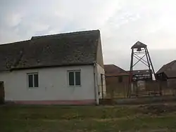 Catholic chapel of Saint Catherine of Alexandria (1977) | |
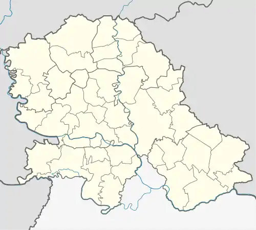 Markovićevo Location of Markovićevo within Serbia  Markovićevo Markovićevo (Serbia) 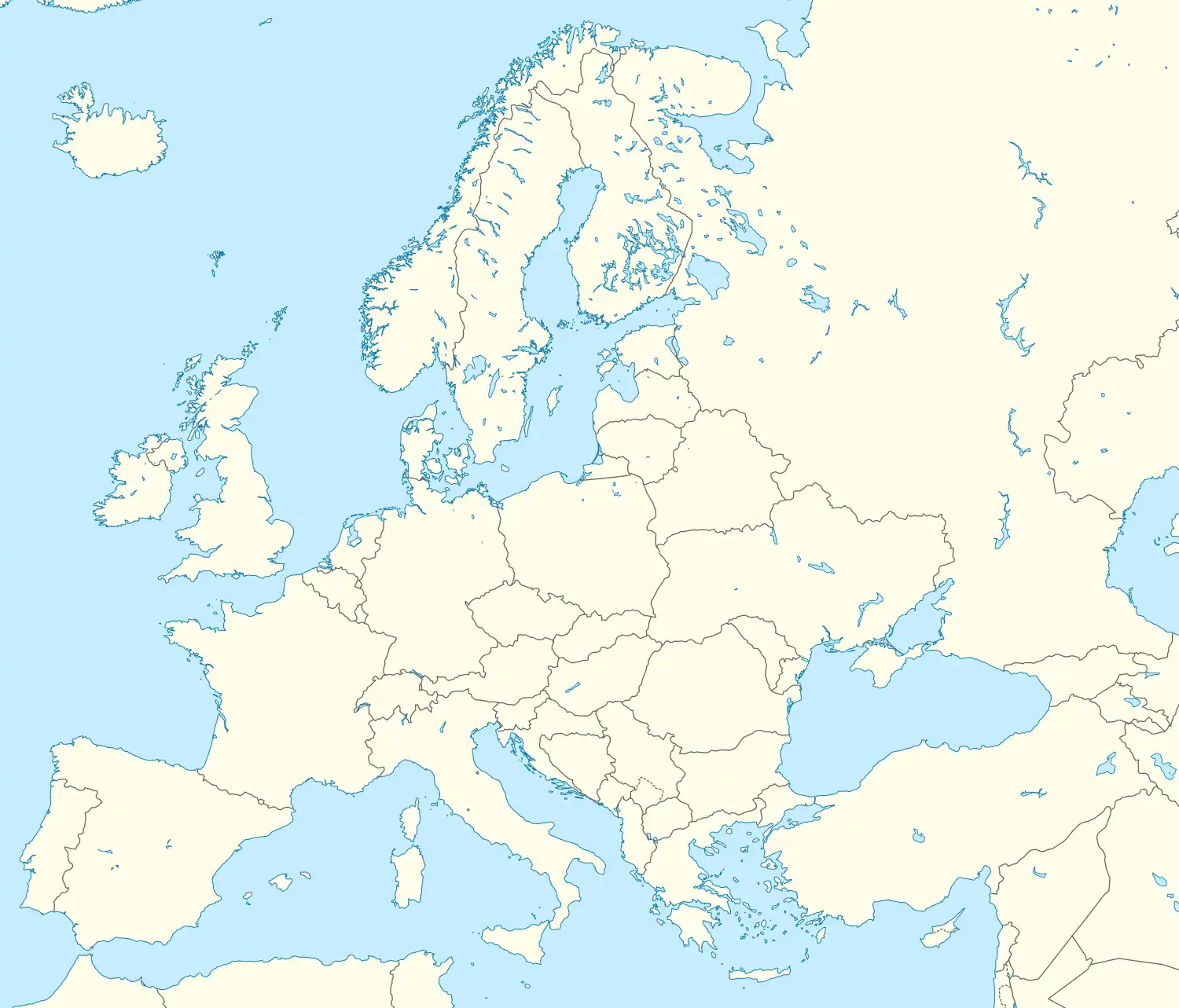 Markovićevo Markovićevo (Europe) | |
| Coordinates: 45°19′08″N 21°01′35″E / 45.31889°N 21.02639°E | |
| Country | Serbia |
| Province | Vojvodina |
| District | South Banat |
| Elevation | 74 m (243 ft) |
| Population (2002) | |
| • Markovićevo | 216 |
| Time zone | UTC+1 (CET) |
| • Summer (DST) | UTC+2 (CEST) |
| Area code | +381(0)13 |
| Car plates | VŠ |
Markovićevo (Serbian Cyrillic: Марковићево; Romanian: Crivobara) is a village in Serbia. It is situated in the Plandište municipality, South Banat District, Vojvodina province.
Name
Older Serbian name for the village was Kriva Bara (Крива Бара). In Hungarian the village is known as Torontálújfalu (Formerly also Ujfalu and Torontal-Ujfalu). In Romanian, the name is Crivobara; the village was in the Kingdom of Romania until 1923.
Demographics
The village has a Serb ethnic majority (70,37%) with a sizable Hungarian minority (21,29%) and its population numbering 216 people (2002 census).
Historical population
- 1961: 505
- 1971: 420
- 1981: 310
- 1991: 239
- 2002: 216
See also
References
- Slobodan Ćurčić, Broj stanovnika Vojvodine, Novi Sad, 1996.
External links
Wikimedia Commons has media related to Markovićevo.
This article is issued from Wikipedia. The text is licensed under Creative Commons - Attribution - Sharealike. Additional terms may apply for the media files.