Vračev Gaj
Врачев Гај | |
|---|---|
 The Orthodox Church | |
 Vračev Gaj Location of Vračev Gaj within Serbia  Vračev Gaj Vračev Gaj (Serbia) 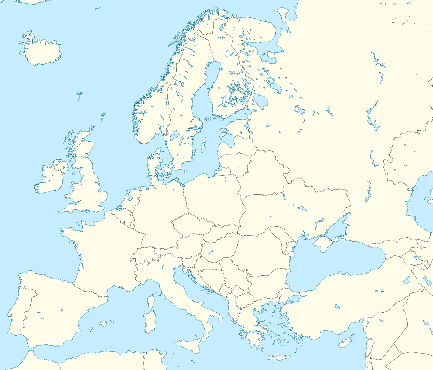 Vračev Gaj Vračev Gaj (Europe) | |
| Coordinates: 44°52′16″N 21°21′28″E / 44.87111°N 21.35778°E | |
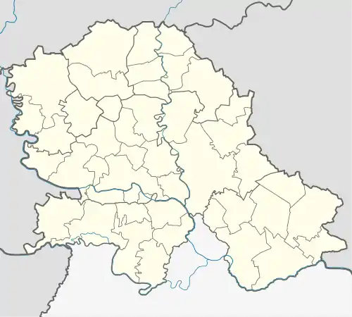
| Country | Serbia |
| Province | Vojvodina |
| District | South Banat |
| Elevation | 69 m (226 ft) |
| Population (2002) | |
| • Vračev Gaj | 1,568 |
| Time zone | UTC+1 (CET) |
| • Summer (DST) | UTC+2 (CEST) |
| Postal code | 26348 |
| Area code | +381(0)13 |
| Car plates | VŠ |

Danube-Tisa-Danube Canal at village Vračev Gaj, near the "Devil`s bridge".
Vračev Gaj (Serbian Cyrillic: Врачев Гај) is a village in Serbia. It is situated in the Bela Crkva municipality, in the South Banat District, Vojvodina province. The village has a Serb ethnic majority (94.57%) and a population of 1,568 (2002 census).
Name
In Serbian, the village is known as Vračev Gaj (Врачев Гај), in Hungarian as Varázsliget, and in Croatian as Vračev Gaj.
Historical population
- 1961: 2,250
- 1971: 2,145
- 1981: 2,040
- 1991: 1,870
- 2002: 1,568
See also
References
- Slobodan Ćurčić, Broj stanovnika Vojvodine, Novi Sad, 1996.
External links
Wikimedia Commons has media related to Vračev Gaj.
This article is issued from Wikipedia. The text is licensed under Creative Commons - Attribution - Sharealike. Additional terms may apply for the media files.