Maxatawny, Pennsylvania | |
|---|---|
Unincorporated community & CDP | |
 Maxatawny  Maxatawny | |
| Coordinates: 40°32′33″N 75°41′20″W / 40.54250°N 75.68889°W | |
| Country | United States |
| State | Pennsylvania |
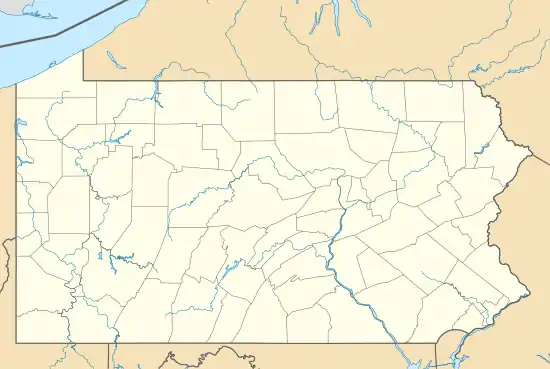
| County | Berks |
| Township | Maxatawny |
| Area | |
| • Total | 0.10 sq mi (0.26 km2) |
| • Land | 0.10 sq mi (0.26 km2) |
| • Water | 0.00 sq mi (0.00 km2) |
| Elevation | 479 ft (146 m) |
| Population | |
| • Total | 130 |
| • Density | 1,287.13/sq mi (499.00/km2) |
| Time zone | UTC-5 (Eastern (EST)) |
| • Summer (DST) | UTC-4 (EDT) |
| ZIP code | 19538 |
| Area code(s) | 610 and 484 |
| GNIS feature ID | 1180566[3] |
Maxatawny is an unincorporated community and census-designated place located on U.S. Route 222 in Maxatawny Township, Berks County, Pennsylvania, United States, five miles east of Kutztown.[4] It is in the Lehigh watershed and Schaefer Run flows through it to the Little Lehigh Creek. Maxatawny has a post office, with the ZIP code of 19538.[5] Traffic speed on US 222 is reduced to 35 miles-per-hour passing through the village, which borders Lehigh County.
| Census | Pop. | Note | %± |
|---|---|---|---|
| 2020 | 130 | — | |
| U.S. Decennial Census[6] | |||
Etymology
The community took its name from Masatane Township.[7]
History
A post office called Maxatawny was established in 1829.[8]
Notes
- ↑ "ArcGIS REST Services Directory". United States Census Bureau. Retrieved October 12, 2022.
- ↑ "Census Population API". United States Census Bureau. Retrieved October 12, 2022.
- ↑ "Maxatawny". Geographic Names Information System. United States Geological Survey, United States Department of the Interior.
- ↑ "Maxatawny, Pennsylvania". Geographic Names Information System. United States Geological Survey, United States Department of the Interior.
- ↑ United States Postal Service (2012). "USPS - Look Up a ZIP Code". Retrieved February 15, 2012.
- ↑ "Census of Population and Housing". Census.gov. Retrieved June 4, 2016.
- ↑ "Some peculiar post office names in Berks". Reading Eagle. November 27, 1910. p. 11. Retrieved December 2, 2015.
- ↑ "Berks County". Jim Forte Postal History. Retrieved December 1, 2015.
Places adjacent to Maxatawny, Pennsylvania | ||||||||||||||||
|---|---|---|---|---|---|---|---|---|---|---|---|---|---|---|---|---|
| ||||||||||||||||

This article is issued from Wikipedia. The text is licensed under Creative Commons - Attribution - Sharealike. Additional terms may apply for the media files.