| Menik Ganga | |
|---|---|
 The river in Katharagama | |
 | |
| Etymology | ganga is a Singhala word for river; menik means gem |
| Native name | මැණික් ගඟ (Sinhala) |
| Physical characteristics | |
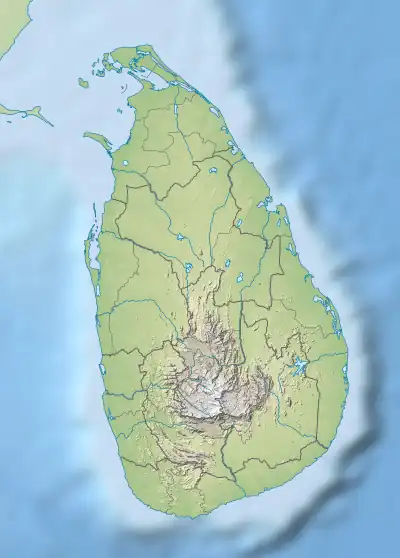
| Source | |
| • location | Namunukula |
| Mouth | |
• location | Yala (Ruhuna) |
• coordinates | 06°21′49″N 81°31′55″E / 6.36361°N 81.53194°E |
• elevation | Sea level |
| Length | 114 km (71 mi) |
| Discharge | |
| • maximum | 220 106 Sq.m |
The Menik Ganga is the thirteenth-longest river of Sri Lanka. It measures approximately 114 km (71 mi) in length. It runs across two provinces and two districts.
Its catchment area receives approximately 2,124 million cubic metres of rain per year, and approximately 10 percent of the water reaches the sea. It has a catchment area of 1,272 square kilometres.[1]
References
- ↑ "Sri Lanka: Rivers". FAO. Retrieved 16 June 2019.
This article is issued from Wikipedia. The text is licensed under Creative Commons - Attribution - Sharealike. Additional terms may apply for the media files.