| Merriman Creek Tributary to Verdigre Creek | |
|---|---|
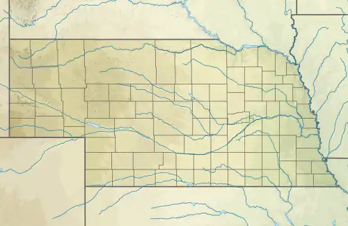 Location of Merriman Creek mouth  Merriman Creek (Verdigre Creek tributary) (the United States) | |
| Location | |
| Country | United States |
| State | Nebraska |
| County | Knox Antelope |
| Physical characteristics | |
| Source | Bazile Creek divide |
| • location | about 5 miles southwest of Creighton, Nebraska |
| • coordinates | 42°24′8.02″N 097°59′48.24″W / 42.4022278°N 97.9967333°W[1] |
| • elevation | 1,782 ft (543 m)[1] |
| Mouth | Verdigre Creek |
• location | about 4 miles west-southwest of Winnetoon, Nebraska |
• coordinates | 42°29′42.01″N 098°06′36.26″W / 42.4950028°N 98.1100722°W[1] |
• elevation | 1,467 ft (447 m)[1] |
| Length | 11.11 mi (17.88 km)[2] |
| Basin size | 34.83 square miles (90.2 km2)[3] |
| Discharge | |
| • location | Verdigre Creek |
| • average | 5.62 cu ft/s (0.159 m3/s) at mouth with Verdigre Creek[3] |
| Basin features | |
| Progression | Verdigre Creek → Niobrara River → Missouri River → Mississippi River → Gulf of Mexico |
| River system | Niobrara |
| Bridges | 868th Road, 525th Avenue, 869th Road, NE 14, 872 Road, 520 Avenue |
Merriman Creek is a 11.11 mi (17.88 km) long second-order tributary to Verdigre Creek in Knox County, Nebraska.
Course
Merriman Creek rises on the Bazile Creek divide about 5 miles southwest of Creighton, Nebraska in Antelope County and then flows northwest into Knox County to join Verdigre Creek about 4 miles west-southwest of Winnetoon, Nebraska.[1]
Watershed
Merriman Creek drains 34.27 square miles (88.8 km2) of area, receives about 26.7 in/year of precipitation, has a wetness index of 519.83, and is about 2.51% forested.[3]
See also
References
- 1 2 3 4 5 "Geographic Names Information System". edits.nationalmap.gov. US Geological Survey. Retrieved October 24, 2022.
- ↑ "ArcGIS Web Application". epa.maps.arcgis.com. US EPA. Retrieved October 24, 2022.
- 1 2 3 "Merriman Creek Watershed Report". watersgeo.epa.gov. US EPA. Retrieved October 24, 2022.
This article is issued from Wikipedia. The text is licensed under Creative Commons - Attribution - Sharealike. Additional terms may apply for the media files.