| Merton | |
|---|---|
 Merton St Peter | |
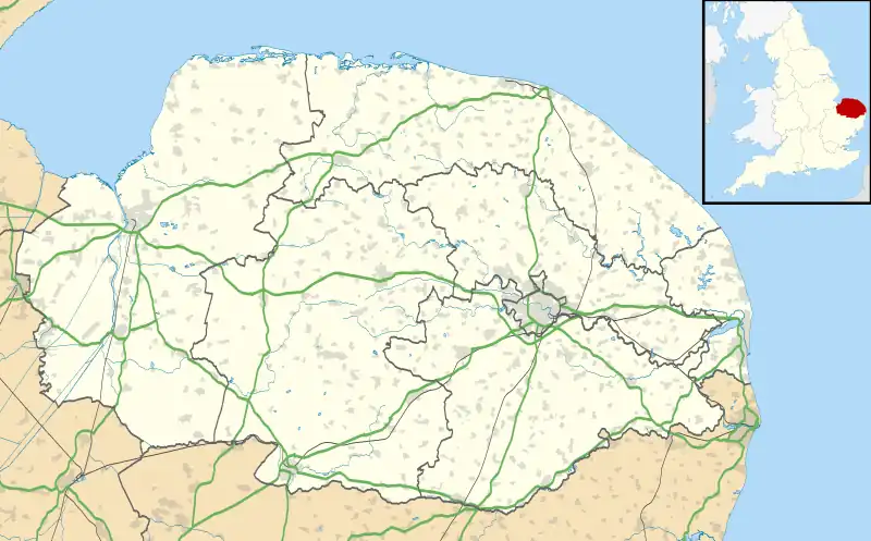 Merton Location within Norfolk | |
| Area | 5.94 km2 (2.29 sq mi) |
| Population | 133 (2011)[1] |
| • Density | 22/km2 (57/sq mi) |
| OS grid reference | TL907988 |
| Civil parish |
|
| District | |
| Shire county | |
| Region | |
| Country | England |
| Sovereign state | United Kingdom |
| Post town | THETFORD |
| Postcode district | IP25 |
| Police | Norfolk |
| Fire | Norfolk |
| Ambulance | East of England |
Merton is a civil parish in the English county of Norfolk. It covers an area of 5.94 km2 (2.29 sq mi) and had a population of 113 in 50 households at the 2001 census,[2] increasing to a population of 133 in 56 households at the 2011 census. For the purposes of local government, it falls within the district of Breckland.
The villages name means 'Pool farm/settlement'.[3]
Merton Hall is the home of Lord Walsingham.
Its church, St Peter's, is one of 124 existing round-tower churches in Norfolk and is a Grade I listed building.[4]

The Merton Stone, a glacial erratic
Notes
- ↑ "Civil Parish population 2011". Neighbourhood Statistics. Office for National Statistics. Retrieved 8 August 2016.
- ↑ Census population and household counts for unparished urban areas and all parishes. Office for National Statistics & Norfolk County Council (2001). Retrieved 20 June 2009.
- ↑ "Key to English Place-names".
- ↑ Historic England. "Church of St. Peter (1172419)". National Heritage List for England. Retrieved 9 March 2014.
External links
![]() Media related to Merton, Norfolk at Wikimedia Commons
Media related to Merton, Norfolk at Wikimedia Commons
This article is issued from Wikipedia. The text is licensed under Creative Commons - Attribution - Sharealike. Additional terms may apply for the media files.