For other places with the same name, see Mount Hopeless.
| Mount Hopeless | |
|---|---|
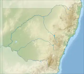 Mount Hopeless Location in New South Wales | |
| Highest point | |
| Elevation | 1,056 m (3,465 ft) |
| Coordinates | 34°02′14″S 150°02′45″E / 34.037268°S 150.045790°E / -34.037268; 150.045790[1] |
| Geography | |
| Location | Central Tablelands, New South Wales, Australia |
| Parent range | Great Dividing Range |
| Climbing | |
| Easiest route | Walk (hike) |
Mount Hopeless is a mountain in the Central Tablelands region of New South Wales, Australia.
The mountain is situated between the headwaters of Doris Creek about 2 kilometres (1.2 mi) south by east of Mount Goondel in the Oberon local government area.
See also
References
- ↑ "Mount Hopeless". Geographical Names Register (GNR) of NSW. Geographical Names Board of New South Wales. Retrieved 13 July 2006.
| Coastal mountain ranges (not part of the Great Dividing Range) |
| ||||||||||||||||||||||||||
|---|---|---|---|---|---|---|---|---|---|---|---|---|---|---|---|---|---|---|---|---|---|---|---|---|---|---|---|
| Great Dividing Range |
| ||||||||||||||||||||||||||
| Inland mountain ranges |
| ||||||||||||||||||||||||||
| Island mountain ranges |
| ||||||||||||||||||||||||||
| Mountains not within a specific range | |||||||||||||||||||||||||||
This article is issued from Wikipedia. The text is licensed under Creative Commons - Attribution - Sharealike. Additional terms may apply for the media files.