| Mount Tsurugi | |
|---|---|
| 剱岳 | |
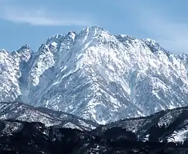 View from the WNW | |
| Highest point | |
| Elevation | 2,999 m (9,839 ft) |
| Listing | List of mountains in Japan 100 Famous Japanese Mountains |
| Coordinates | 36°37′24″N 137°37′02″E / 36.62333°N 137.61722°E |
| Naming | |
| English translation | Sword Mountain |
| Language of name | Japanese |
| Geography | |
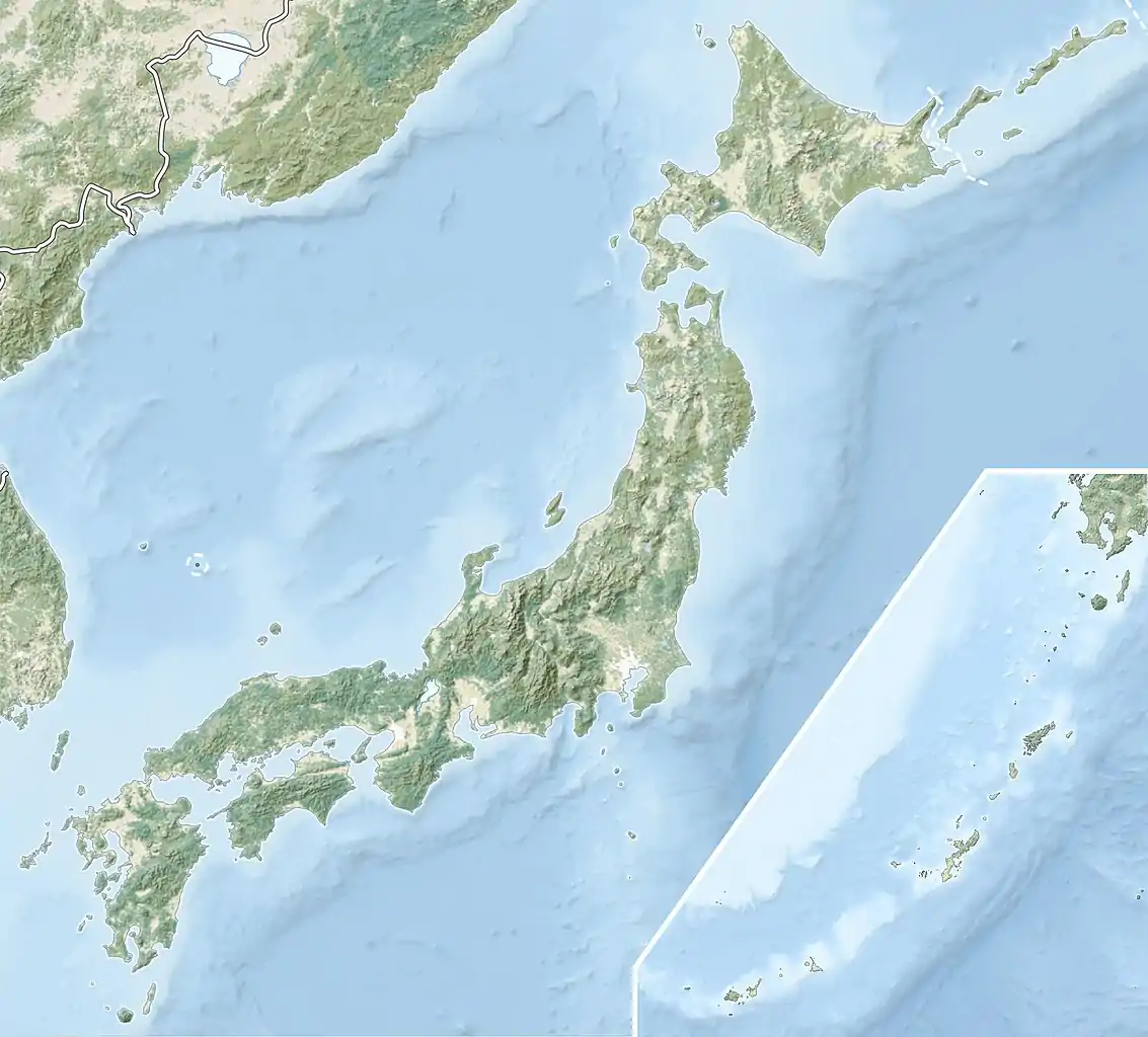 Mount Tsurugi Toyama Prefecture, Japan | |
| Parent range | Hida Mountains |
| Climbing | |
| Easiest route | Hike |
Mount Tsurugi (剱岳, Tsurugi-dake) is a mountain located in the eastern area of Toyama Prefecture, Japan. It is one of the tallest peaks in the Hida Mountains at 2,999 m (9,839 ft). It is one of the 100 Famous Japanese Mountains, and is called "the most dangerous mountain" climbable.[1]
Tsurugi has a number of routes which approach world class long routes. It is recognised in Japan as "the" premiere mountaineering peak in winter. Although dangerous, its death toll is a small fraction of those who have died on Japan's much smaller, but more lethal Tanigawa-dake.
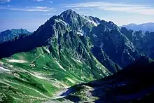
Mount Tsurugi seen from the due south. Taken from Mount Bessan.
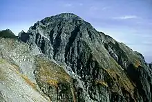
Main peak of Mount Tsurugi.
.jpg.webp)
Looking south from Mount Tsurugi.
See also
References
- ↑ Jirō Nitta (2006). Tsurugi-dake ten no ki. Bunshun Bunko (in Japanese). Bungeishunjū. p. 367.
External links
 Media related to Mount Tsurugi (Toyama) at Wikimedia Commons
| Hokkaidō | |||||||||
|---|---|---|---|---|---|---|---|---|---|
| Tōhoku region Jōshinetsu region |
| ||||||||
| Kantō region | |||||||||
| Chūbu region |
| ||||||||
| Western Japan | |||||||||
| |||||||||
This article is issued from Wikipedia. The text is licensed under Creative Commons - Attribution - Sharealike. Additional terms may apply for the media files.