| Mount Utsugi | |
|---|---|
| 空木岳 | |
 Mount Utsugi from Mount Akanigi | |
| Highest point | |
| Elevation | 2,864 m (9,396 ft)[1] |
| Listing | Mountains of Japan |
| Coordinates | 35°43′08″N 137°49′01″E / 35.718889°N 137.816944°E[1] |
| Geography | |
 Mount Utsugi | |
| Parent range | Kiso Mountains |
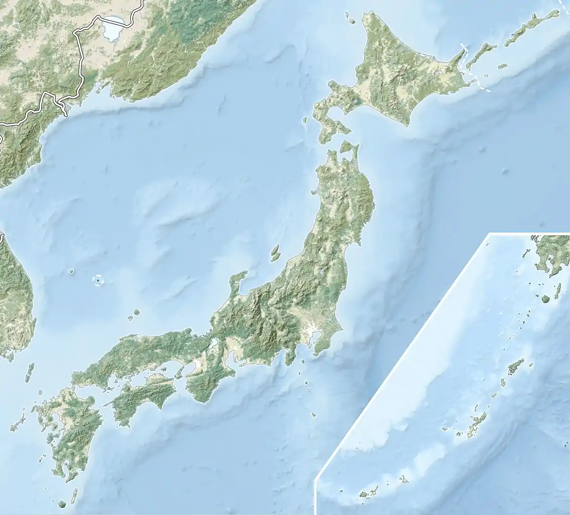
Mount Utsugi (空木岳, Utsugi-dake) is a mountain located on the boundary of Okuwa, Iijima and Miyada, Nagano Prefecture, in the Chūbu region of Japan. It is 2,864 m (9,396 ft) tall and part of the Kiso Mountains. It is also included on the list of "100 Famous Japanese Mountains."
Hiking
The landscape of Mt. Utsugi includes large granite boulders surrounded by lush greenery. Due to its distance and elevation gain it is usually completed as an overnight hike. The trail begins in the town of Komagane which is also popular for its onsen and the Komagatake Ropeway.
Gallery
 The summit of Mount Utsugi.
 The view from the summit.
References
- 1 2 "Topographic map of Mount Utsugi". opentopomap.org. Retrieved 2023-06-20.
External links
Wikimedia Commons has media related to Mount Utsugi.
This article is issued from Wikipedia. The text is licensed under Creative Commons - Attribution - Sharealike. Additional terms may apply for the media files.