| Muncaster | |
|---|---|
.jpg.webp) | |
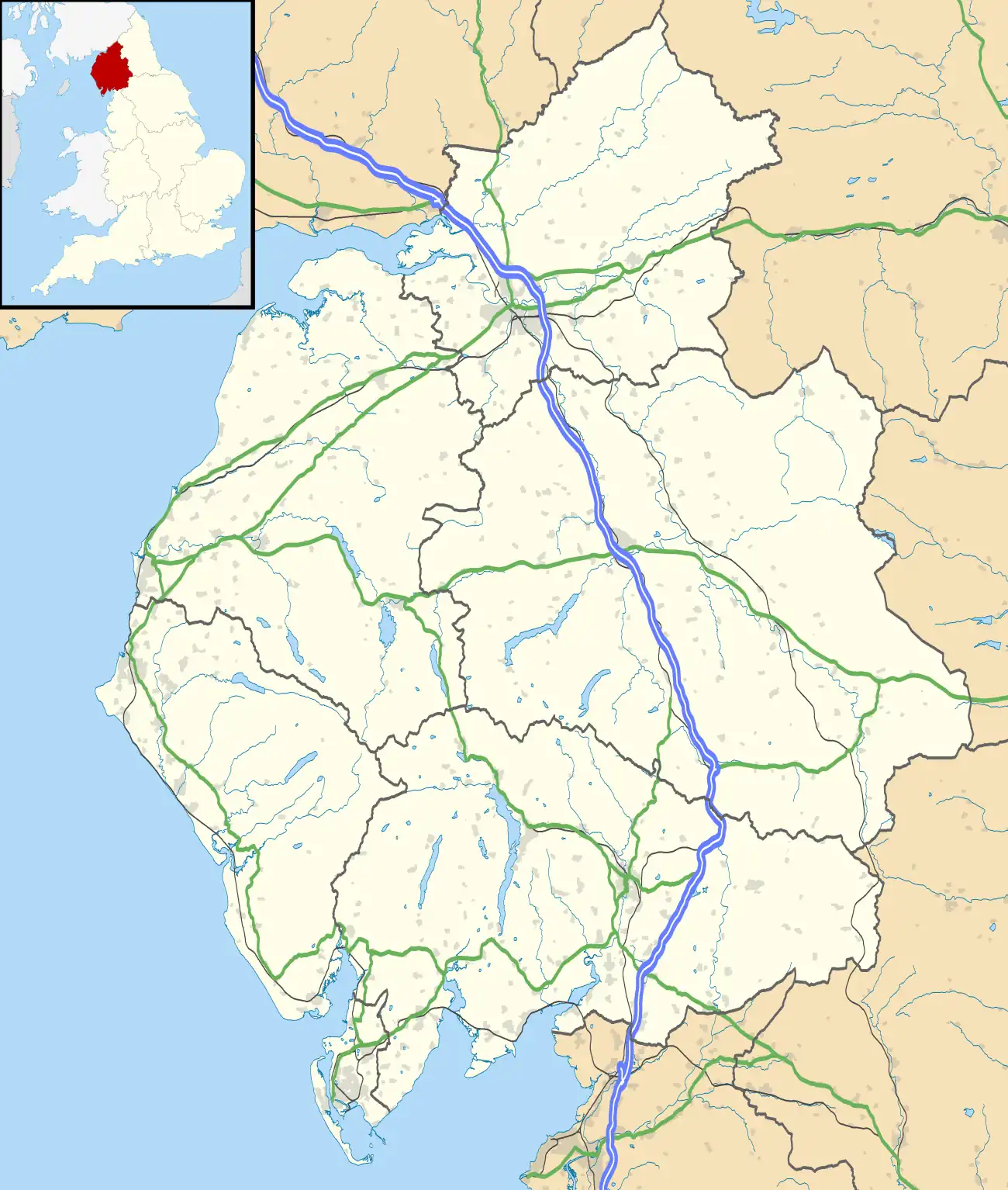
 Muncaster Location within Cumbria | |
| Area | 29.4 km2 (11.4 sq mi) |
| Population | 290 (2011 census) |
| • Density | 10/km2 (26/sq mi) |
| Civil parish |
|
| District | |
| Shire county | |
| Region | |
| Country | England |
| Sovereign state | United Kingdom |
| Website | www |
Muncaster is a civil parish in Cumbria, North West England. The parish is 41 miles (66 km) south west of the city of Carlisle,[1] in the Copeland district, in the county of Cumbria, England. The parish includes the village of Ravenglass. In 2011 the parish had a population of 290.[2] The parish touches Bootle, Drigg and Carleton, Eskdale, Irton with Santon, Ulpha and Waberthwaite.[3]
Features
There are 14 listed buildings in Muncaster.[4]
History
The name "Muncaster" means 'Mula's/Muli's Roman site', which perhaps refers to the Roman fort Glannoventa at Ravenglass.[5] The surname Muncaster.[6] derives from the place. It was anciently called "Meolceastre".[7] In 1847 the parish contained the townships of Muncaster and Birkby.[8] On 25 March 1886 part of Millom was transferred to the parish.[9]
References
- ↑ "Distance from Muncaster [54.357025, 3.380236]". GENUKI. Retrieved 5 March 2021.
- ↑ "Muncaster". City Population De. Retrieved 5 March 2021.
- ↑ "Muncaster". Ordnance Survey. Retrieved 5 March 2021.
- ↑ "Listed buildings in Muncaster, Copeland, Cumbria". British Listed Buildings. Retrieved 5 March 2021.
- ↑ "Muncaster Key to English Place-names". The University of Nottingham. Retrieved 5 March 2020.
- ↑ "Last name: Muncaster". SurnameDB. Retrieved 5 March 2021.
- ↑ "History of Muncaster, in Copeland and Cumberland". A Vision of Britain through Time. Retrieved 5 March 2021.
- ↑ "Muncaster". GENUKI. Retrieved 5 March 2021.
- ↑ "Relationships and changes Muncaster CP/AP through time". A Vision of Britain through Time. Retrieved 5 March 2021.
External links
- Cumbria County History Trust: Muncaster (nb: provisional research only – see Talk page)
- Parish council