Namata
Νάματα Pipilishta | |
|---|---|
 Namata | |
| Coordinates: 40°25′N 21°31.3′E / 40.417°N 21.5217°E | |
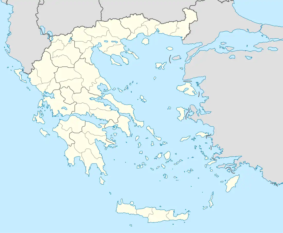
| Country | Greece |
| Administrative region | West Macedonia |
| Regional unit | Kozani |
| Municipality | Voio |
| Municipal unit | Askio |
| Highest elevation | 1,160 m (3,810 ft) |
| Lowest elevation | 1,120 m (3,670 ft) |
| Community | |
| • Population | 104 (2011) |
| Time zone | UTC+2 (EET) |
| • Summer (DST) | UTC+3 (EEST) |
| Postal code | 500 03 |
| Area code(s) | +30-2463-xxx-xxx |
| Vehicle registration | ΚΖ |
Namata (Greek: Νάματα; Aromanian: Pipilishta) is a village and a community of the Voio municipality.[2] Before the 2011 local government reform it was part of the municipality of Askio, of which it was a municipal district.[2] The 2011 census recorded 104 inhabitants in the village.[1] During Ottoman times, this was a purely Aromanian village.[3]
References
- 1 2 "Απογραφή Πληθυσμού - Κατοικιών 2011. ΜΟΝΙΜΟΣ Πληθυσμός" (in Greek). Hellenic Statistical Authority.
- 1 2 "ΦΕΚ B 1292/2010, Kallikratis reform municipalities" (in Greek). Government Gazette.
- ↑ The War of Numbers and its First Victim: The Aromanians in Macedonia (End of 19th – Beginning of 20th century)
This article is issued from Wikipedia. The text is licensed under Creative Commons - Attribution - Sharealike. Additional terms may apply for the media files.