Peponia
Πεπονιά | |
|---|---|
 Peponia | |
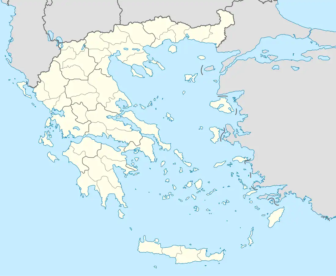
| Coordinates: 40°17.5667′N 21°24.582′E / 40.2927783°N 21.409700°E | |
| Country | Greece |
| Administrative region | West Macedonia |
| Regional unit | Kozani |
| Municipality | Voio |
| Municipal unit | Neapoli |
| Highest elevation | 630 m (2,070 ft) |
| Lowest elevation | 590 m (1,940 ft) |
| Community | |
| • Population | 70 (2011) |
| Time zone | UTC+2 (EET) |
| • Summer (DST) | UTC+3 (EEST) |
| Postal code | 500 01 |
| Area code(s) | +30-2468-xxx-xxx |
| Vehicle registration | ΚΖ |
Peponia (Greek: Πεπονιά) is a village and a community of the Voio municipality.[2] In the late Ottoman period, it was inhabited by Vallahades; in the 1900 statistics of Vasil Kanchov, where the town appears under its Bulgarian name "Laya", it was inhabited by some 300 "Greek Muslims".[3] Before the 2011 local government reform it was part of the municipality of Neapoli, of which it was a municipal district.[2] The 2011 census recorded 70 inhabitants in the village.[1]
References
- 1 2 "Απογραφή Πληθυσμού - Κατοικιών 2011. ΜΟΝΙΜΟΣ Πληθυσμός" (in Greek). Hellenic Statistical Authority.
- 1 2 "ΦΕΚ B 1292/2010, Kallikratis reform municipalities" (in Greek). Government Gazette.
- ↑ Kanchov, Vasil, Macedonia, Ethnography and Statistics, Sofia, 1900, book 2, p46. (in Bulgarian)
This article is issued from Wikipedia. The text is licensed under Creative Commons - Attribution - Sharealike. Additional terms may apply for the media files.