| Narrow Water Forest | |
|---|---|
 Bluebells in Narrow Water Forest | |
| Map | |
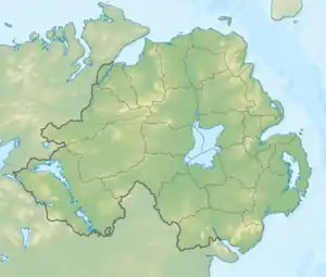
 Location of Narrow Water forest | |
| Geography | |
| Location | Down, Northern Ireland, United Kingdom |
| Coordinates | 54°6′41.45″N 6°16′43.62″W / 54.1115139°N 6.2787833°W |
| Area | 342.04 acres (138.42 ha) |
| Administration | |
| Governing body | Forest Service Northern Ireland |
Narrow Water Forest is a mixed broadleaf and coniferous forest located between Newry and Warrenpoint, Count Down, Northern Ireland.[1] It is 342.04 acres (138.42 ha) in size, of which 138.41 acres (56.01 ha) is controlled by the Forest Service Northern Ireland.[2][3]
References
- ↑ "Narrow Water Forest". nidirect. 5 November 2015. Retrieved 23 November 2018.
- ↑ "Narrow Water Forest". The Woodland Trust. Retrieved 23 November 2018.
- ↑ "Northern Ireland Assembly AQW 26462/11-15". aims.niassembly.gov.uk. 10 October 2010. Retrieved 23 November 2018.
This article is issued from Wikipedia. The text is licensed under Creative Commons - Attribution - Sharealike. Additional terms may apply for the media files.