Nawa District
ناوه | |
|---|---|
| Nawa | |
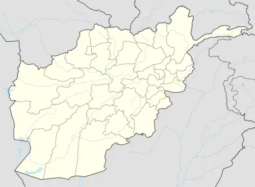
 Nawa District Location within Afghanistan | |
| Coordinates: 32°19′25″N 67°52′38″E / 32.32361°N 67.87722°E | |
| Country | Afghanistan |
| Province | Ghazni Province |
| Occupation | Taliban[1] |
| Population (2002)[2] | |
| • Total | 29,054 |
Nawa is a large district in the far south of Ghazni Province, Afghanistan. It is 100 km south from Ghazni in a mountainous region. The salt lake Ab-i Istada is located in the northern part of the district. Nawa's population was estimated at 29,054 in 2002, of whom around 45% were children under 12.[2] The district center is the village of Nawa. Military operations in the district were featured in articles in the Washington Post[3] and the New York Times[4] in October 2009. The district was controlled by the Taliban until 17 July 2017.
The district is within the heartland of the Tarakai tribe of Khilji Pashtuns.[5]
Politics and Governance
Geography
Nawa District borders Gelan on the North, Dila and Wazakhan of Paktika on the east, Nawbahar (Zabul) on the west and Shumolzai (Zabul) on the south.
HealthCare
Education
Demographics
Infrastructure
Economy and agriculture
Most of the population live in villages in mud-built homes. Agriculture has been seriously affected by drought. The main sources of water are shallow wells. Trade and animal husbandry are sources of income. There is a shortage of clinics and schools, as well as the professionals to work in them.
Notable people
- Nur Muhammad Taraki (President of Afghanistan from 1978 to 1979)
See also
References
- ↑ "Resolute Support obscures status of 7 Ghazni districts as 3 more fall to Taliban".
- 1 2 "District Profile" (PDF). UNHCR. Archived from the original (PDF) on 27 October 2005. Retrieved 25 April 2006.
- ↑ Chandrasekaran, Rajiv (22 October 2009). "In Helmand, a model for success?". Washington Post. Retrieved 24 October 2009.
- ↑ Boot, Max (21 October 2009). "There's No Substitute for Troops on the Ground". New York Times. Retrieved 24 October 2009.
- ↑ Ghazni Province Tribal Map (Page 4). Naval Postgraduate School.
External links
- Map of Settlements AIMS, May 2002
