Pana
پانا | |
|---|---|
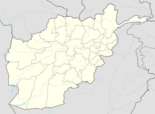 Pana Location in Afghanistan | |
| Coordinates: 33°6′1″N 68°18′42″E / 33.10028°N 68.31167°E | |
| Country | |
| Province | Ghazni Province |
| District | Giro District |
| Elevation | 2,080 m (6,820 ft) |
| Time zone | UTC+4:30 |
Pana (Panah) is the district center of Giro District, Ghazni Province, Afghanistan. It is located on 33°06′01″N 68°18′42″E / 33.100337°N 68.311612°E[1] at 2,080 m altitude in the central part of the district. The roads towards it are in bad condition.
See also
References
- ↑ Pana can be found at GEOnet Names Server, at this link, by opening the Advanced Search box, entering "-3386302" in the "Unique Feature Id" form, and clicking on "Search Database".
Wikimedia Commons has media related to Pana, Afghanistan.

This article is issued from Wikipedia. The text is licensed under Creative Commons - Attribution - Sharealike. Additional terms may apply for the media files.