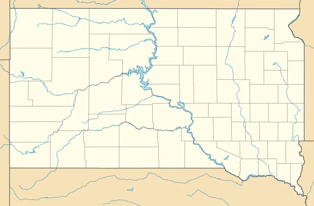
| The Needles | |
|---|---|
 The Needles, South Dakota, United States | |
 | |
| Nearest city | Custer, South Dakota |
| Range | Black Hills |
| Coordinates | 43°50′28″N 103°32′40″W / 43.84111°N 103.54444°W |
| Climbing type | traditional face and crack climbing and bouldering[1] |
| Height | 500 feet (150 m) |
| Pitches | 1 to 4 |
| Grades | 5.0-5.13 |
| Rock type | granite, pegmatite |
| Quantity of rock | years worth ( 2,000 summits) |
| Development | well developed |
| Cliff aspect | mixed mainly traditional climbing |
| Season | spring to fall |
| Ownership | State park |
| Camping | none |
| Stars | |


The Needles of the Black Hills of South Dakota are a region of eroded granite pillars, towers, and spires within Custer State Park. Popular with rock climbers and tourists alike, the Needles are accessed from the Needles Highway, which is a part of Sylvan Lake Road (SD 87/89). The Cathedral Spires and Limber Pine Natural Area, a 637-acre (258 ha) portion of the Needles containing six ridges of pillars as well as a disjunct stand of limber pine, was designated a National Natural Landmark in 1976.[2]
The Needles were the original site proposed for the Mount Rushmore carvings. The location was rejected by the sculptor Gutzon Borglum owing to the poor quality of the granite and the fact that they were too thin to support the sculptures. The Needles attract approximately 300,000 people annually.
Climbing
 .jpg.webp) |
| Southwestern South Dakota |
|---|
| Sculptures |
| Geologic and natural history |
| Mountains |
| Caves |
| Forests and wildernesses |
| Lakes |
| Scenic byways |
| Historic sites |
In 1936 Fritz Wiessner climbed the Totem Pole[3][4] and in 1937 Khayyam Spire with Bill House and Lawrence Coveney. In 1947 Jan and Herb Conn moved to the area and over the next couple decades put up over 220 first ascents.[5] In 1952 Fred Beckey and John Dudra climbed Rubaiyat Spire and Khayyam Spire. In the 1960s climbers such as Royal Robbins, and Henry Barber put up many bold routes. In 1961 John Gill made free solo ascent of 5.12a route on The Thimble which is considered one of the first climbs at that grade and still is a formidable challenge.[6][7] In 1991 John Sherman also made a free solo ascent of Gill's Route.[8]
Classic climbs
- Spire Two, 5.3
- Innercourse, 5.5
- Rum Room, 5.7
- Tent Peg, 5.7
- Tricuni Nail, 5.8
- Trojan Determination, 5.8
- Behind The Door, 5.9
- Four Little Fishes, 5.9
- Hardrocker, 5.9
- Needle's Eye, 5.10-
- Nentucket Sleigh Ride, 5.10
- Superpin, 5.10b R
- Farewell to Arms, 5.10+
- For Whom the Bell Tolls, 5.11a
- Limited Immunity, 5.11b
- Vertigo, 5.11
- Leaning Jowler, 5.12a
- Walking the Plankton, 5.12b
- Thimble, 5.12a
- Outlet CG Boulders

References
- ↑ Toula, Tim (1995). Rock 'n' Road (1st ed.). Falcon. ISBN 978-0934641357.
- ↑ "National Natural Landmarks - National Natural Landmarks (U.S. National Park Service)". www.nps.gov. Retrieved 2019-03-25.
Year designated: 1976
- ↑ "Custer State Park Rock Climbing". Mountain Project. Retrieved 31 January 2016.
- ↑ deLannoy, Pete (March 1, 2006). "The Needles". Alpinist (15). Retrieved 10 February 2016.
- ↑ Stephens, Lindsay (2008). The Adventure Climbs of Herb and Jan Conn. Boulder, CO: Sharp End Pub., LLC. ISBN 9781892540560.
- ↑ Gill Route on the Thimble on YouTube
- ↑ "The Thimble Rock Climbing". Mountain Project. Retrieved 31 January 2016.
- ↑ Sherman, John (1994). Stone crusade : a historical guide to bouldering in America (1st ed.). Golden, Colo.: AAC Press. ISBN 9780930410629.