Four Mile, South Dakota
Fourmile | |
|---|---|
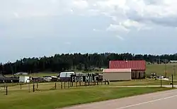 Looking southwest at Four Mile | |
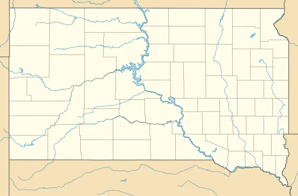 Four Mile Location of Four Mile in South Dakota. | |
| Coordinates: 43°43′58″N 103°40′31″W / 43.73278°N 103.67528°W | |
| Country | United States |
| State | South Dakota |
| County | Custer |
| Elevation | 5,361 ft (1,634 m) |
| Time zone | UTC-7 (MST) |
| • Summer (DST) | UTC-6 (MDT) |
| Area code | 605 |
| GNIS feature ID | 1261691[1] |
| Four Mile | |
|---|---|
| Location | |
| Roads at junction | |
| Construction | |
| Maintained by | South Dakota Department of Transportation |
Four Mile is an unincorporated community in Custer County, South Dakota, United States, located four miles west of Custer at the junction of U.S. Route 16 and Pleasant Valley Road (County Highway 715).
Named because of the distance from Custer on the original Sidney Black Hills Stage Road, Four Mile today is a small bedroom community for Custer, with a single tourist attraction (the Four Mile Old West Town Museum), a log-cabin manufacturer, a small mobile home court, and several other residences.
External links
References
- ↑ "US Board on Geographic Names". United States Geological Survey. October 25, 2007. Retrieved January 31, 2008.
Municipalities and communities of Custer County, South Dakota, United States | ||
|---|---|---|
| City | 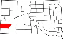 | |
| Towns | ||
| Unincorporated communities | ||
| Ghost towns | ||
This article is issued from Wikipedia. The text is licensed under Creative Commons - Attribution - Sharealike. Additional terms may apply for the media files.