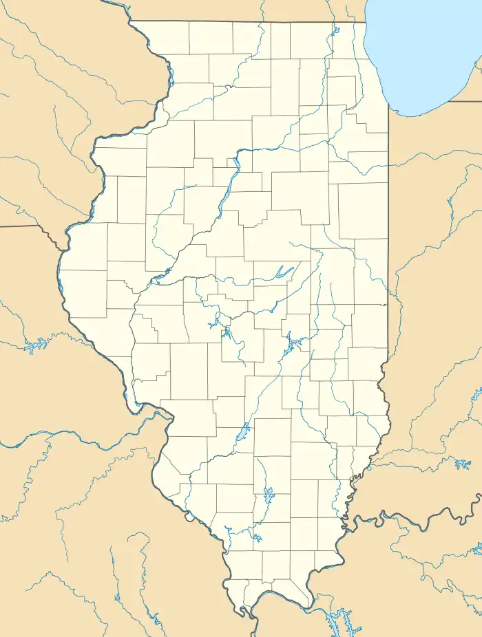
Nekoma, Illinois | |
|---|---|
 Nekoma  Nekoma | |
| Coordinates: 41°10′22″N 90°11′19″W / 41.17278°N 90.18861°W | |
| Country | |
| State | |
| County | Henry County |
| Township | Weller Township |
| Area | |
| • Total | 0.13 sq mi (0.34 km2) |
| • Land | 0.13 sq mi (0.34 km2) |
| • Water | 0.00 sq mi (0.00 km2) |
| Elevation | 810 ft (247 m) |
| Population (2020) | |
| • Total | 23 |
| • Density | 175.57/sq mi (68.03/km2) |
| ZIP code | 61490 |
| GNIS feature ID | 0414345[2] |
Nekoma is an unincorporated community in Weller Township, Henry County, Illinois, United States.
History
The town of Nekoma was laid out in July 1869.[3]
Geography
The town is located in the far south of the county, at the intersections of Illinois Routes 17 and 82.[4]
Demographics
| Census | Pop. | Note | %± |
|---|---|---|---|
| 2020 | 23 | — | |
| U.S. Decennial Census[5] | |||
References
- ↑ "2020 U.S. Gazetteer Files". United States Census Bureau. Retrieved March 15, 2022.
- ↑ "Nekoma". Geographic Names Information System. United States Geological Survey, United States Department of the Interior. Retrieved September 19, 2009.
- ↑ The History of Henry County, Illinois, Its Tax-Payers and Voters. Chicago: H. F. Kett and Company. 1877. p. 541.
- ↑ Google (March 5, 2015). "Nekoma, Illinois" (Map). Google Maps. Google. Retrieved March 5, 2015.
- ↑ "Census of Population and Housing". Census.gov. Retrieved June 4, 2016.
This article is issued from Wikipedia. The text is licensed under Creative Commons - Attribution - Sharealike. Additional terms may apply for the media files.