| Nine Mile Burn | |
|---|---|
 Nine Mile Burn | |
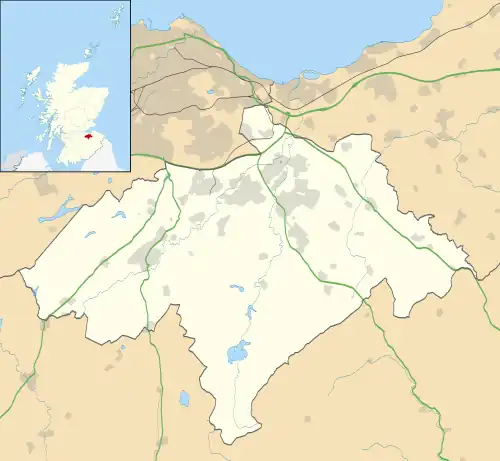 Nine Mile Burn Location within Midlothian | |
| OS grid reference | NT175576 |
| Council area | |
| Lieutenancy area | |
| Country | Scotland |
| Sovereign state | United Kingdom |
| Post town | PENICUIK |
| Postcode district | EH26 |
| Dialling code | 01968 |
| Police | Scotland |
| Fire | Scottish |
| Ambulance | Scottish |
| UK Parliament | |
| Scottish Parliament | |

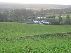
Pentland hills near Nine Mile Burn on the A702
Nine Mile Burn is a hamlet in Midlothian, Scotland,[1] the last in Midlothian when heading south on the A702 road.
It is located at the foot of the Pentland Hills, near Penicuik and about 2 km north-east of the village of Carlops.
References
- ↑ "Nine Mile Burn: Overview". Gazetteer for Scotland. Retrieved 31 July 2018.
External links
Wikimedia Commons has media related to Nine Mile Burn.
This article is issued from Wikipedia. The text is licensed under Creative Commons - Attribution - Sharealike. Additional terms may apply for the media files.